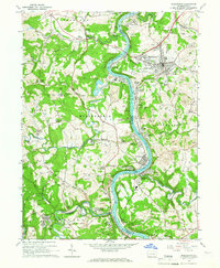
1964 Map of Masontown
USGS Topo · Published 1966About this map
The Monongahela River carves a deep, winding path between Greene and Fayette counties, serving as the industrial artery for a region defined by coal and river transit in the mid-1960s. Mining infrastructure dominates the hillsides, with numerous strip mines and mine tipples dotting the landscape near settlements like Nemacolin and Ronco. The town of Masontown stands as a primary hub on the eastern bank, while smaller communities such as Alicia, Grays Landing, and Glassworks cling to the river's edge.
Find a feature on this map
96 named features on this map. Tap any name to fly to it.
Don’t see what you’re looking for? This feature index may not catch every label — zoom into the map to look around manually.
Map Details
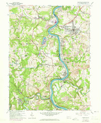
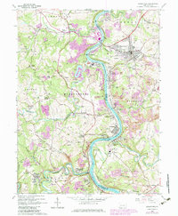
Editions of this 1964 Masontown Map
3 editions found
Other maps of this area

1900 · Masontown
USGS Topo · 1:62,500

1901 · Waynesburg
USGS Topo · 1:62,500

1902 · Morgantown
USGS Topo · 1:62,500

1903 · Masontown
USGS Topo · 1:62,500

1904 · Blacksville
USGS Topo · 1:62,500

1904 · Waynesburg
USGS Topo · 1:62,500

1923 · Blacksville
USGS Topo · 1:62,500

1925 · Blacksville
USGS Topo · 1:62,500

1925 · Morgantown
USGS Topo · 1:62,500

1931 · Masontown
USGS Topo · 1:62,500