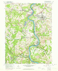
1964 Map of Masontown
USGS Topo · Published 1973About this map
The Monongahela River carves a deep valley through this industrial landscape, where the Monongahela RR and heavy river infrastructure supported coal and manufacturing centers like Masontown and Greensboro. In the mid-1960s, the river was a hive of activity, featuring Lock and Dam No 7, numerous tipples, and specialized sites such as Coke Ovens and the Glassworks at the river's bend. Small settlements like Little Chicago, Live Easy, and Friendship Heights dot the surrounding hillsides, reflecting a densely populated rural corridor.
Find a feature on this map
104 named features on this map. Tap any name to fly to it.
Don’t see what you’re looking for? This feature index may not catch every label — zoom into the map to look around manually.
Map Details
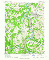
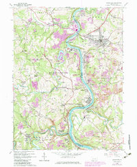
Editions of this 1964 Masontown Map
3 editions found
Other maps of this area

1900 · Masontown
USGS Topo · 1:62,500

1901 · Waynesburg
USGS Topo · 1:62,500

1902 · Morgantown
USGS Topo · 1:62,500

1903 · Masontown
USGS Topo · 1:62,500

1904 · Blacksville
USGS Topo · 1:62,500

1904 · Waynesburg
USGS Topo · 1:62,500

1923 · Blacksville
USGS Topo · 1:62,500

1925 · Blacksville
USGS Topo · 1:62,500

1925 · Morgantown
USGS Topo · 1:62,500

1931 · Masontown
USGS Topo · 1:62,500