
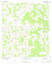
1955 Map of Mayo NE
USGS Topo · Published 1956About this map
Suwannee County in the mid-1950s is defined here by a network of small, rural gathering places dispersed across a landscape of sandy depressions and forest cover. This survey captures a specific social geography where the local schoolhouse and church often shared a name or occupied the same small clearing, such as Shiloh Sch and St James Sch. Genealogists will find particular value in the documentation of family and community burial grounds, including Claywood Cem, Smith Cem, and Mt Willing Cem. The prevalence of small congregations like Claywood Ch, Friendship Ch, Philadelphia Ch, and New Zion Ch suggests a deeply rooted, decentralized community structure typical of this region of North Florida before major suburbanization changed the rural character of the land.
Find a feature on this map
12 named features on this map. Tap any name to fly to it.
Don’t see what you’re looking for? This feature index may not catch every label — zoom into the map to look around manually.
Map Details
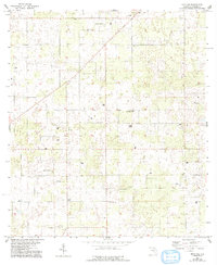
Editions of this 1955 Mayo NE Map
3 editions found
Other maps of this area

1954 · Dowling Park
USGS Topo · 1:24,000

1954 · Valdosta
USGS Topo · 1:250,000

1955 · Mayo
USGS Topo · 1:24,000

1955 · Mayo SE
USGS Topo · 1:24,000

1958 · Valdosta
USGS Topo · 1:250,000

1959 · Valdosta
USGS Topo · 1:250,000

1959 · Live Oak West
USGS Topo · 1:24,000

1959 · Falmouth
USGS Topo · 1:24,000

1961 · Live Oak East
USGS Topo · 1:24,000
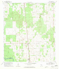
1969 · O'Brien
USGS Topo · 1:24,000