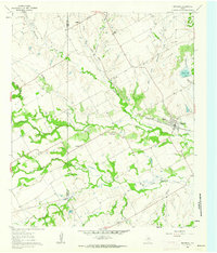
1961 Map of Maypearl
USGS Topo · Published 1963About this map
Maypearl and the smaller settlements of Auburn and Griffith anchor this early 1960s survey of the Blackland Prairie border. The Missouri Pacific railroad cuts a diagonal path through the landscape, a primary artery for this agricultural region. The terrain is defined by the dendritic drainage of the Chambers Creek system, including the North Fork, East Fork, and South Fork, which create a mosaic of wooded bottoms and open fields. Family history is well-preserved through several small burial grounds such as Ozro Cem and Jackson Cem, while Griffith Chapel stands as a focal point for the rural community near the Johnson and Ellis County line. The map illustrates a transitional period where small-town life remained closely tied to the seasonal rhythms of the creeks and the steady passage of the rail line.
Find a feature on this map
27 named features on this map. Tap any name to fly to it.
Don’t see what you’re looking for? This feature index may not catch every label — zoom into the map to look around manually.
Map Details
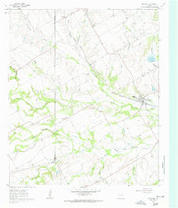
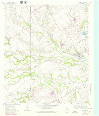
Editions of this 1961 Maypearl Map
Other maps of this area

1891 · Cleburne
USGS Topo · 1:125,000

1894 · Cleburne
USGS Topo · 1:125,000

1954 · Dallas
USGS Topo · 1:250,000

1958 · Dallas
USGS Topo · 1:250,000

1960 · Boz
USGS Topo · 1:24,000

1961 · Alvarado
USGS Topo · 1:24,000
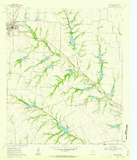
1961 · Midlothian
USGS Topo · 1:24,000
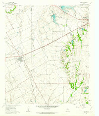
1961 · Venus
USGS Topo · 1:24,000
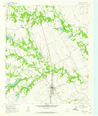
1961 · Grandview
USGS Topo · 1:24,000
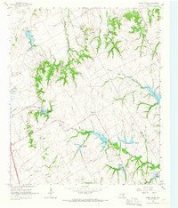
1965 · Files Valley
USGS Topo · 1:24,000