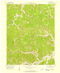
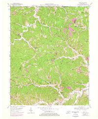
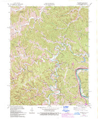
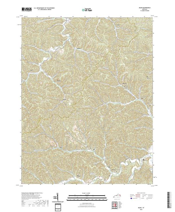
1953 Map of Mazie
USGS Topo · Published 1955This historical map portrays the area of Mazie in 1953, primarily covering Lawrence County as well as portions of Elliott County and Johnson County. Featuring a scale of 1:24000, this map provides a highly detailed snapshot of the terrain, roads, buildings, counties, and historical landmarks in the Mazie region at the time. Published in 1955, it is one of 3 known editions of this map due to revisions or reprints.
Find a feature on this map
76 named features on this map. Tap any name to fly to it.
Don’t see what you’re looking for? This feature index may not catch every label — zoom into the map to look around manually.
Map Details
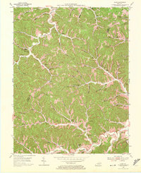
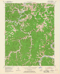
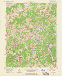
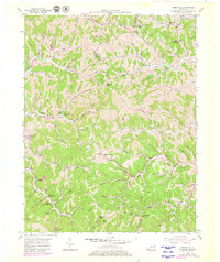
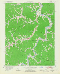
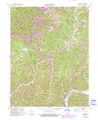
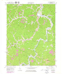
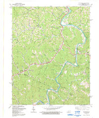
Editions of this 1953 Mazie Map
3 editions found
Historical Maps of Johnson County Through Time
14 maps found
1953 Adams
Lawrence County, KY
1953 Fallsburg
Lawrence County, KY
1953 Mazie
Lawrence County, KY
1953 Webbville
Lawrence County, KY
1954 Richardson
Lawrence County, KY
1971 Adams
Lawrence County, KY
1971 Fallsburg
Lawrence County, KY
1971 Richardson
Lawrence County, KY
1992 Richardson
Lawrence County, KY
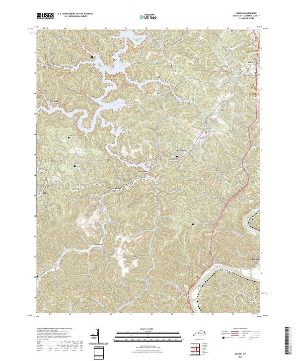
2022 Adams
Lawrence County, KY
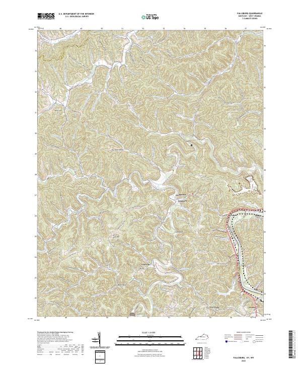
2022 Fallsburg
Lawrence County, KY
2022 Mazie
Lawrence County, KY
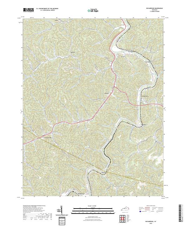
2022 Richardson
Lawrence County, KY
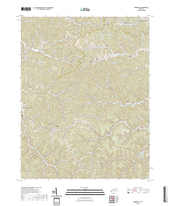
2022 Webbville
Lawrence County, KY