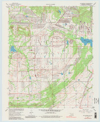
1967 Map of Mc Alester SW
USGS Topo · Published 1980About this map
The U S Army Mc Alester Ammunition Depot dominates the central landscape of this Oklahoma survey, illustrating a massive grid-like network of roads and bunkers including Road Three, Road Four, and Road Five. This military infrastructure is supported by specialized transportation lines like the Stanton Government Railroad and the U S Government Railroad, which interface with the regional Missouri-Kansas-Texas line.
Find a feature on this map
30 named features on this map. Tap any name to fly to it.
Don’t see what you’re looking for? This feature index may not catch every label — zoom into the map to look around manually.
Map Details
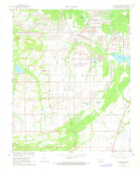
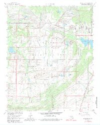
Editions of this 1967 Mc Alester SW Map
3 editions found
Other maps of this area

1896 · Coalgate
USGS Topo · 1:125,000

1898 · McAlester
USGS Topo · 1:125,000

1899 · Coalgate
USGS Topo · 1:125,000

1900 · Coalgate
USGS Topo · 1:125,000

1909 · Mc Alester
USGS Topo · 1:125,000

1950 · Mcalester
USGS Topo · 1:250,000

1957 · Ardmore
USGS Topo · 1:250,000

1962 · McAlester
USGS Topo · 1:250,000

1963 · Ardmore
USGS Topo · 1:250,000

1965 · McAlester
USGS Topo · 1:250,000