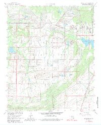
1967 Map of Mc Alester SW
USGS Topo · Published 1980About this map
The U S Army Ammunition Depot dominates this landscape south of McAlester, illustrating the mid-century military industrial footprint in Pittsburg County. The depot's vast grid of numbered roads, such as Road Five and Road Nine, and its specialized infrastructure like the US Government Railroad and Rocket Lake, stand in contrast to the surrounding rural terrain. Traces of earlier industry and settlement appear at Coal Hill and near the Missouri-Kansas-Texas railroad line, while the Memorial Cem provides a point of interest for genealogists. The topography is defined by the Big Prairie Ridge and waterways like Muddy Boggy Creek and Hominy Creek, which feed into various reservoirs. This survey, photoinspected in the late 1970s, documents a significant military installation during its period of active utility.
Find a feature on this map
34 named features on this map. Tap any name to fly to it.
Don’t see what you’re looking for? This feature index may not catch every label — zoom into the map to look around manually.
Map Details
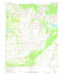
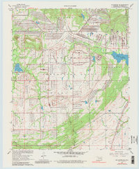
Editions of this 1967 Mc Alester SW Map
3 editions found
Other maps of this area

1896 · Coalgate
USGS Topo · 1:125,000

1898 · McAlester
USGS Topo · 1:125,000

1899 · Coalgate
USGS Topo · 1:125,000

1900 · Coalgate
USGS Topo · 1:125,000

1909 · Mc Alester
USGS Topo · 1:125,000

1950 · Mcalester
USGS Topo · 1:250,000

1957 · Ardmore
USGS Topo · 1:250,000

1962 · McAlester
USGS Topo · 1:250,000

1963 · Ardmore
USGS Topo · 1:250,000

1965 · McAlester
USGS Topo · 1:250,000