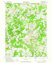
1964 Map of Mc Intyre
USGS Topo · Published 1966About this map
Extensive industrial and mining landscapes define this mid-1960s map of the border between Armstrong and Indiana counties. The area is heavily marked by energy production, featuring a massive Gas Field and numerous operations labeled as Strip Mines, which dominate the terrain between Mc Intyre and Coal Run. Transport networks such as the Baltimore and Ohio railroad and the Aultmans Run Branch snake through the valleys, connecting settlements like Aultman and Jacksonville to the regional coal and gas economy. In the southern portion, the U S Reservation denotes land near Conemaugh Lake subject to inundation by the Conemaugh Dam. Genealogists will find local landmarks like the West Lebanon Cem, Mc Intyre Cem, and the West Union Ch essential for tracing family roots in these historic mining communities.
Find a feature on this map
47 named features on this map. Tap any name to fly to it.
Don’t see what you’re looking for? This feature index may not catch every label — zoom into the map to look around manually.
Map Details
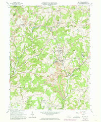
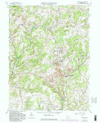
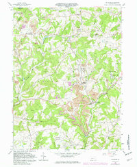
Editions of this 1964 Mc Intyre Map
4 editions found
Other maps of this area

1900 · Latrobe
USGS Topo · 1:62,500

1902 · Latrobe
USGS Topo · 1:62,500

1902 · Indiana
USGS Topo · 1:62,500

1902 · Elders Ridge
USGS Topo · 1:62,500

1903 · Latrobe
USGS Topo · 1:62,500

1904 · Elders Ridge
USGS Topo · 1:62,500

1920 · New Florence
USGS Topo · 1:62,500

1921 · New Florence
USGS Topo · 1:48,000

1922 · New Florence
USGS Topo · 1:62,500

1944 · New Florence
USGS Topo · 1:62,500
Featured Places
- Black Lick Township, PA
- South Bend Township, PA
- Young Township, PA
- Jacksonville, Black Lick Township
- Conemaugh Township, PA