
1898 Map of McAlester
USGS Topo · Published 1898About this map
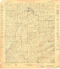
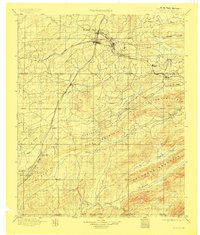
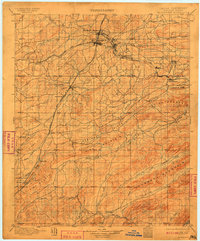
South Mc Alester and its surrounding coal-rich territory within the Choctaw Nation serve as the focal point for this late nineteenth-century survey. The landscape is defined by the intersection of the Choctaw Oklahoma and Gulf R. R. and the Missouri Kansas and Texas R. R., highlighting the area's rapid development as a rail and mining hub. Small industrial settlements like Krebs, Alderson, and Hartshorne dot the lines, while the presence of Mine No. 5 near Gowen underscores the region's extraction-based economy.
Find a feature on this map
39 named features on this map. Tap any name to fly to it.
Don’t see what you’re looking for? This feature index may not catch every label — zoom into the map to look around manually.
Map Details
Editions of this 1898 McAlester Map
4 editions found
Other maps of this area

1896 · Coalgate
USGS Topo · 1:125,000

1899 · Coalgate
USGS Topo · 1:125,000

1899 · Atoka
USGS Topo · 1:125,000

1900 · Sansbois
USGS Topo · 1:125,000

1900 · Canadian
USGS Topo · 1:125,000

1900 · Wewoka
USGS Topo · 1:125,000

1900 · Atoka
USGS Topo · 1:125,000

1900 · Coalgate
USGS Topo · 1:125,000

1901 · Antlers
USGS Topo · 1:125,000

1901 · Tuskahoma
USGS Topo · 1:125,000