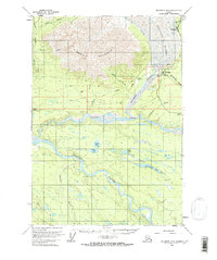
1959 Map of McCarthy B-6
USGS Topo · Published 1966About this map
Kennicott and McCarthy stand at the heart of this late-1950s copper-country landscape, where the industrial legacy of the region is etched into the terrain. An Aerial Tramway connects the massive peaks to the valley floor near the Bonanza mine, while the remnants of a Railroad and an Old Tractor Road reveal the logistical challenges of resource extraction in the Alaskan interior. The massive Kennicott Glacier dominates the northern drainage, feeding the Kennicott River as it joins the braided channels of the Nizina River. Further south, the Chitina River winds through a landscape dotted with numerous remote water bodies like Camel Lake and Threemile Lake. The map details early infrastructure such as a Landing Strip and isolated Cabins, recording a period when these once-booming mining hubs were transitioning into more secluded mountain outposts.
Find a feature on this map
39 named features on this map. Tap any name to fly to it.
Don’t see what you’re looking for? This feature index may not catch every label — zoom into the map to look around manually.
Map Details
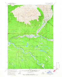
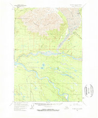
Editions of this 1959 McCarthy B-6 Map
4 editions found
Other maps of this area

1951 · McCarthy
USGS Topo · 1:250,000

1959 · McCarthy B-6
USGS Topo · 1:63,360

1959 · McCarthy C-5
USGS Topo · 1:63,360

1959 · McCarthy B-5
USGS Topo · 1:63,360

1959 · McCarthy A-5
USGS Topo · 1:63,360

1959 · McCarthy A-6
USGS Topo · 1:63,360

1959 · McCarthy C-6
USGS Topo · 1:63,360

1959 · McCarthy A-7
USGS Topo · 1:63,360

1959 · McCarthy C-7
USGS Topo · 1:63,360

1959 · McCarthy B-7
USGS Topo · 1:63,360