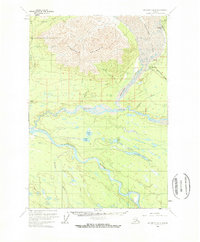
1959 Map of McCarthy B-6
USGS Topo · Published 1969About this map
Bonanza Mine sits high above the ice in this 1959 field-annotated study, overlooking the copper-rich corridor where the Kennicott Glacier meets the industrial settlements of Kennicott and McCarthy. The map illustrates a landscape of transition, where the legacy of heavy mining is etched into the terrain via an Old Railroad Grade and a Tractor Trail that navigate the slopes of Fireweed Mountain.
Find a feature on this map
29 named features on this map. Tap any name to fly to it.
Don’t see what you’re looking for? This feature index may not catch every label — zoom into the map to look around manually.
Map Details
Editions of this 1959 McCarthy B-6 Map
4 editions found
Other maps of this area

1951 · McCarthy
USGS Topo · 1:250,000

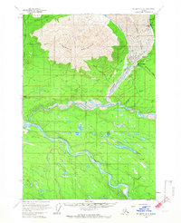
1959 · McCarthy B-6
USGS Topo · 1:63,360

1959 · McCarthy C-5
USGS Topo · 1:63,360

1959 · McCarthy B-5
USGS Topo · 1:63,360

1959 · McCarthy A-5
USGS Topo · 1:63,360

1959 · McCarthy A-6
USGS Topo · 1:63,360

1959 · McCarthy C-6
USGS Topo · 1:63,360

1959 · McCarthy A-7
USGS Topo · 1:63,360

1959 · McCarthy C-7
USGS Topo · 1:63,360

1959 · McCarthy B-7
USGS Topo · 1:63,360