
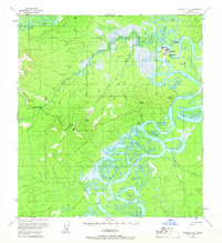
1954 Map of McGrath D-6
USGS Topo · Published 1958About this map
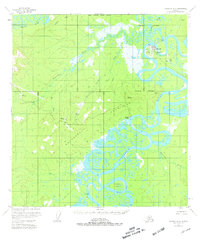
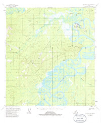
McGrath and its surroundings in the mid-1950s are defined by the intricate meanders of the Kuskokwim River and the Takotna River. This interior Alaskan landscape shows a transition between aviation-dependent settlements and resource extraction, with the Takotna Airstrip and Candle Airstrip providing vital links to the remote interior. The map records the shift in human geography near the confluence of the rivers, specifically the transition from Old McGrath (Aband) to the primary townsite. Mining activity is noted at the Candle Placer mine within the Roundabout Hills, where Candle Creek and its tributaries carve through the terrain. Downstream along the Kuskokwim, the map details the complex river morphology around Harrell Island and Wilson Lake, alongside a small cemetery and various remote cabins that speak to the subsistence and prospecting history of the Yukon-Koyukuk region.
Find a feature on this map
29 named features on this map. Tap any name to fly to it.
Don’t see what you’re looking for? This feature index may not catch every label — zoom into the map to look around manually.
Map Details
Editions of this 1954 McGrath D-6 Map
4 editions found
Other maps of this area

1949 · McGrath
USGS Topo · 1:250,000

1950 · Medfra
USGS Topo · 1:250,000

1950 · McGrath
USGS Topo · 1:250,000

1951 · Ophir
USGS Topo · 1:250,000

1951 · Iditarod
USGS Topo · 1:250,000

1953 · McGrath D-5
USGS Topo · 1:63,360

1954 · Medfra A-6
USGS Topo · 1:63,360

1954 · Medfra A-5
USGS Topo · 1:63,360

1954 · Ophir A-1
USGS Topo · 1:63,360

1954 · McGrath C-6
USGS Topo · 1:63,360