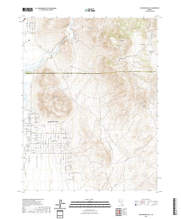
2021 Map of McTarnahan Hill
USGS Topo · Published 2021About this map
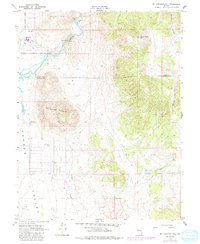
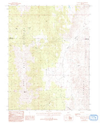
Carson Valley and the surrounding high desert terrain define the transition between agricultural valley floors and the steep, rugged slopes of the Pine Nut Mountains. This modern survey shows the developed residential grid of Johnson Lane, where numerous local streets like Porter Dr, Stephanie Way, and Jackie Ln have expanded across the alluvial fan. The landscape is marked by hydrothermal activity, most notably at Saratoga Hot Spring at the base of Hot Springs Mtn, a geological feature that has long drawn interest in this part of Douglas County.
Find a feature on this map
76 named features on this map. Tap any name to fly to it.
Don’t see what you’re looking for? This feature index may not catch every label — zoom into the map to look around manually.
Map Details
Editions of this 2021 McTarnahan Hill Map
This is the sole edition of this map. No revisions or reprints were ever made.
Historical Maps of Johnson Lane Through Time
22 maps found
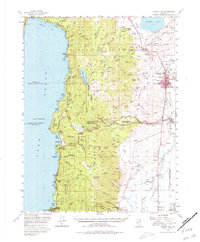
1956 Carson City
Douglas County, NV
1956 Desert Creek Peak
Douglas County, NV
1957 Mt. Siegel
Douglas County, NV
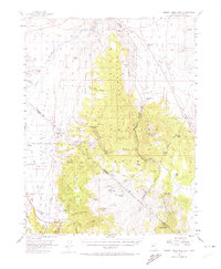
1968 McTarnahan Hill
Douglas County, NV
1979 Carters Station
Douglas County, NV
1986 Mount Siegel
Douglas County, NV
1986 Oreana Peak
Douglas County, NV
1986 Pine Nut Valley
Douglas County, NV
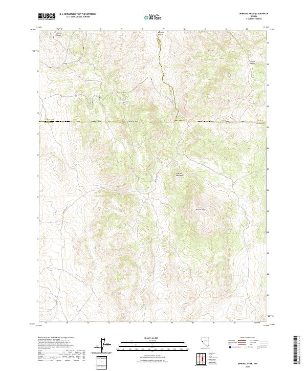
1987 Mineral Peak
Douglas County, NV
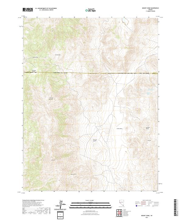
1987 Mount Como
Douglas County, NV
1988 Long Dry Canyon
Douglas County, NV
1988 Risue Canyon
Douglas County, NV
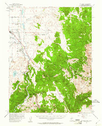
1994 McTarnahan Hill
Douglas County, NV
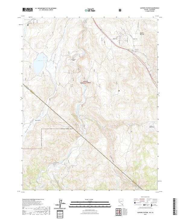
2021 Carters Station
Douglas County, NV
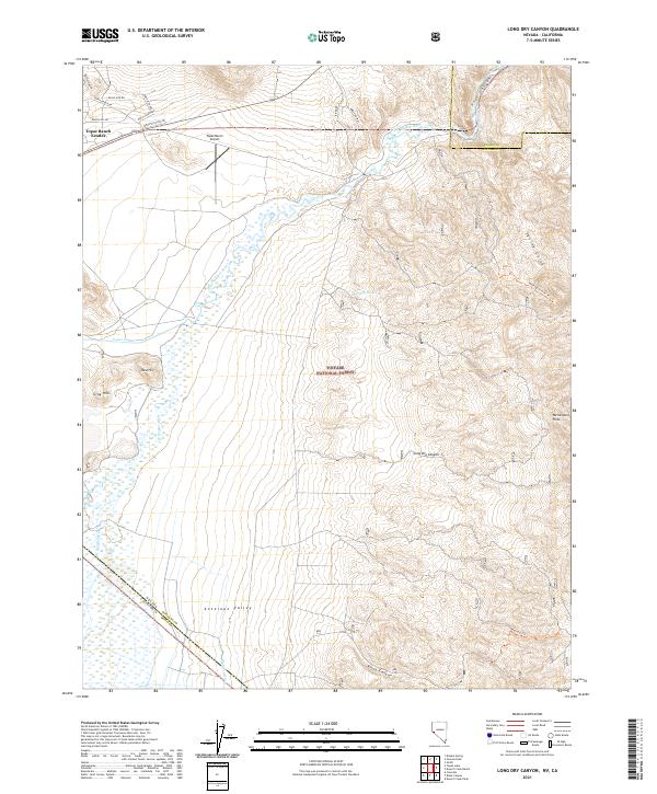
2021 Long Dry Canyon
Douglas County, NV
2021 McTarnahan Hill
Douglas County, NV
2021 Mineral Peak
Douglas County, NV
2021 Mount Como
Douglas County, NV
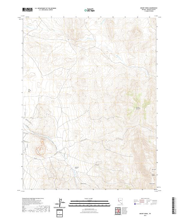
2021 Mount Siegel
Douglas County, NV
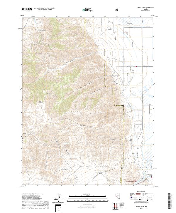
2021 Oreana Peak
Douglas County, NV
2021 Pine Nut Valley
Douglas County, NV
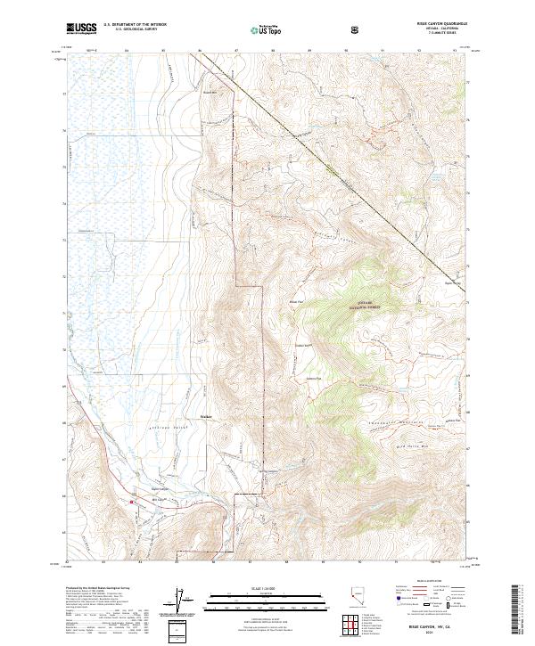
2021 Risue Canyon
Douglas County, NV