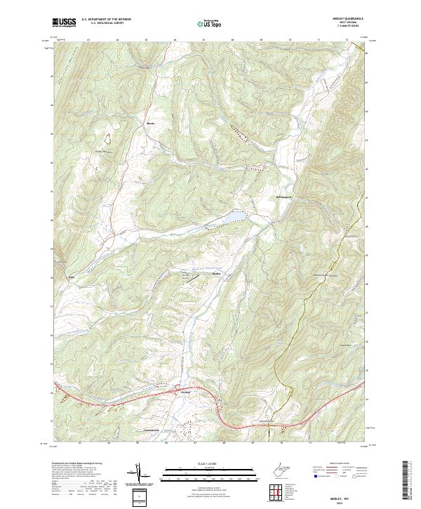
2023 Map of Medley
USGS Topo · Published 2023About this map
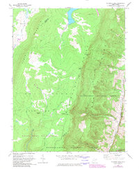
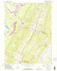
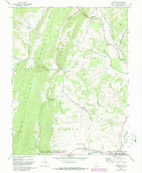
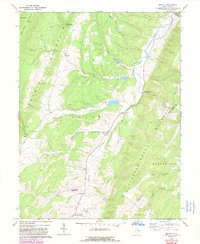
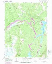
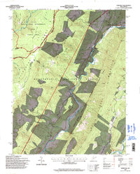
Patterson Creek and its diverse tributaries, including the North Fork Patterson Creek and Middle Fork Patterson Creek, define the drainage of this Grant County landscape. The settlement of Medley sits centrally near the Heaven's Landing Airstrip, while other small communities like Williamsport, Forman, and Lahmansville are distributed along the valley floors. The geography is characterized by prominent ridges such as New Creek Mountain to the west and Patterson Creek Mountain to the east, which frame the agricultural and residential corridors.
Find a feature on this map
50 named features on this map. Tap any name to fly to it.
Don’t see what you’re looking for? This feature index may not catch every label — zoom into the map to look around manually.
Map Details
Editions of this 2023 Medley Map
This is the sole edition of this map. No revisions or reprints were ever made.
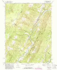
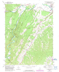
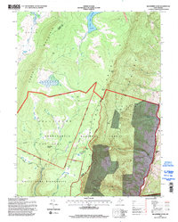
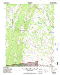
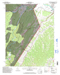
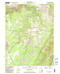
Historical Maps of Falls Through Time
24 maps found
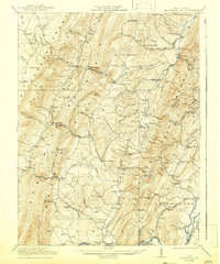
1921 Greenland Gap
Grant County, WV
1949 Mount Storm
Grant County, WV
1951 Mount Storm
Grant County, WV
1967 Blackbird Knob
Grant County, WV
1967 Greenland Gap
Grant County, WV
1967 Maysville
Grant County, WV
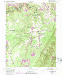
1967 Medley
Grant County, WV
1967 Mount Storm Lake
Grant County, WV
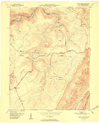
1969 Hopeville
Grant County, WV
1969 Petersburg West
Grant County, WV
1995 Blackbird Knob
Grant County, WV
1995 Hopeville
Grant County, WV
1995 Maysville
Grant County, WV
1995 Petersburg West
Grant County, WV
1997 Mount Storm
Grant County, WV
1997 Mount Storm Lake
Grant County, WV
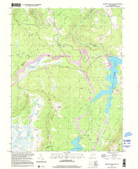
2023 Blackbird Knob
Grant County, WV
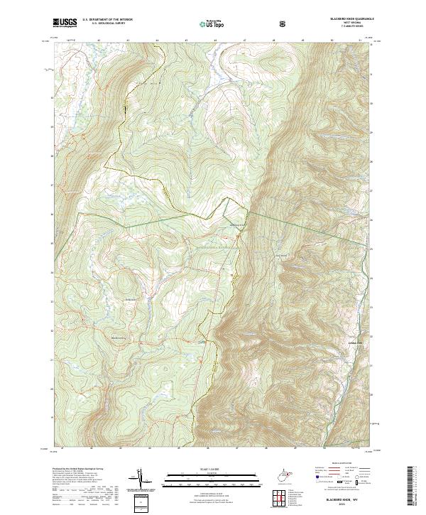
2023 Greenland Gap
Grant County, WV
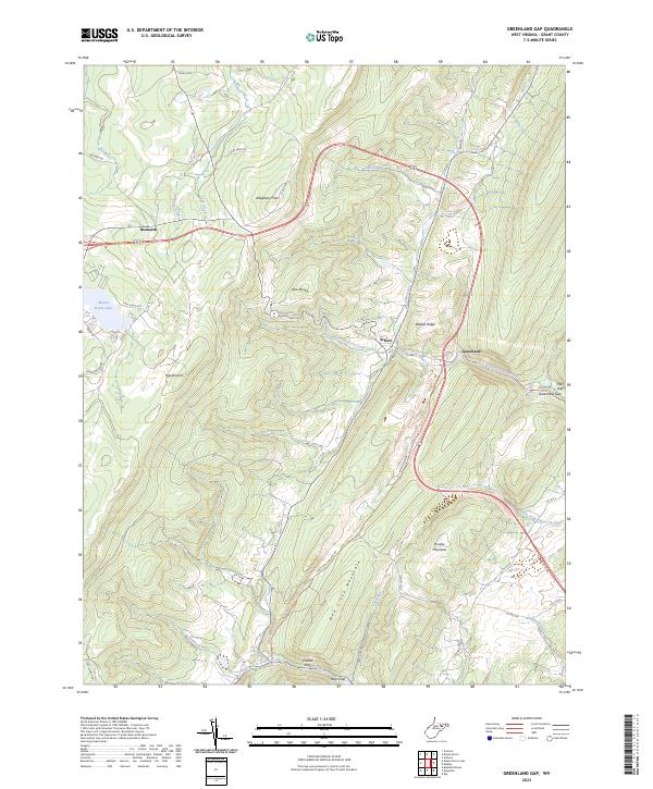
2023 Hopeville
Grant County, WV
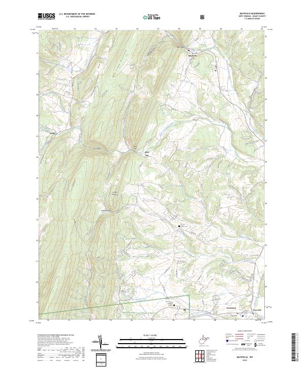
2023 Maysville
Grant County, WV
2023 Medley
Grant County, WV
2023 Mount Storm
Grant County, WV
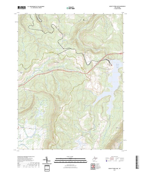
2023 Mount Storm Lake
Grant County, WV
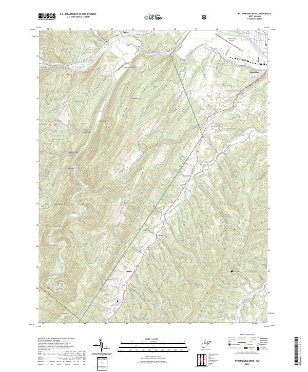
2023 Petersburg West
Grant County, WV