
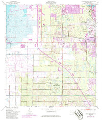
1949 Map of Melbourne West
USGS Topo · Published 1958About this map
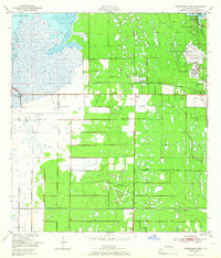
Malabar Naval Air Station anchors the southern portion of this mid-century Florida landscape, showcasing its distinctive star-shaped runway configuration. The interior of the region is defined by a massive drainage and reclamation network, where numerous segments of levee and miles of spoil banks cut through the wetlands east of Lake Washington. These engineering efforts transformed the marshy terrain into a developing corridor of small communities and specialized sites.
Find a feature on this map
17 named features on this map. Tap any name to fly to it.
Don’t see what you’re looking for? This feature index may not catch every label — zoom into the map to look around manually.
Map Details
Editions of this 1949 Melbourne West Map
8 editions found
Other maps of this area

1949 · Melbourne East
USGS Topo · 1:24,000

1949 · Eau Gallie
USGS Topo · 1:24,000

1949 · Grant
USGS Topo · 1:24,000

1949 · Tropic
USGS Topo · 1:24,000

1951 · Melbourne East
USGS Topo · 1:24,000

1951 · Eau Gallie
USGS Topo · 1:24,000

1951 · Melbourne West
USGS Topo · 1:24,000

1951 · Grant
USGS Topo · 1:24,000
1951 · Tropic
USGS Topo · 1:24,000

1953 · Deer Park NE
USGS Topo · 1:24,000