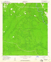
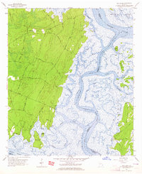
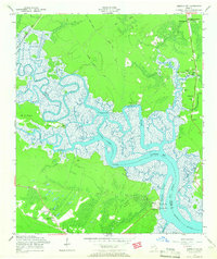
1958 Map of Meldrim SW
USGS Topo · Published 1961This historical map portrays the area of Meldrim SW in 1958, primarily covering Bryan County as well as portions of Chatham County and Effingham County. Featuring a scale of 1:24000, this map provides a highly detailed snapshot of the terrain, roads, buildings, counties, and historical landmarks in the Meldrim SW region at the time. Published in 1961, it is one of 3 known editions of this map due to revisions or reprints.
Find a feature on this map
18 named features on this map. Tap any name to fly to it.
Don’t see what you’re looking for? This feature index may not catch every label — zoom into the map to look around manually.
Map Details
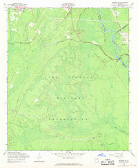
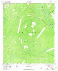
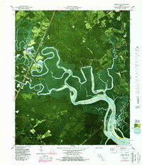
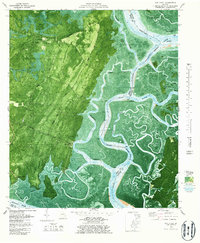
Editions of this 1958 Meldrim SW Map
3 editions found
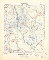
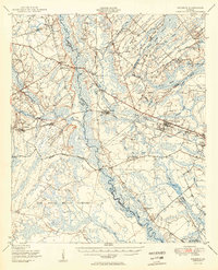
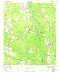
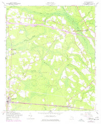
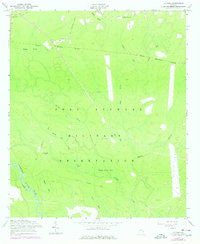
Historical Maps of Effingham County Through Time
11 maps found

1920 Meldrim
Bryan County, GA
1942 Meldrim
Bryan County, GA
1950 Meldrim
Bryan County, GA
1957 Oak Level
Bryan County, GA
1958 Eden
Bryan County, GA
1958 Lanier
Bryan County, GA
1958 Letford
Bryan County, GA
1958 Limerick SE
Bryan County, GA
1958 Meldrim SW
Bryan County, GA
1979 Limerick SE
Bryan County, GA
1979 Oak Level
Bryan County, GA