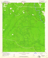
1958 Map of Meldrim SW
USGS Topo · Published 1961About this map
Clyde (Site) serves as a primary point of historical interest in this coastal Georgia landscape, where the former community was absorbed by the sprawling Fort Stewart Military Reservation. Significant genealogical evidence remains through the Clyde Cem and Wise Cem, providing a physical link to the families who lived here before the land was dedicated to military use. The terrain is defined by the winding Ogeechee River and its tributaries like Little Creek, which dictate the local topography.
Find a feature on this map
18 named features on this map. Tap any name to fly to it.
Don’t see what you’re looking for? This feature index may not catch every label — zoom into the map to look around manually.
Map Details
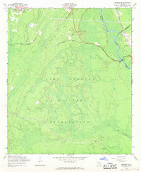
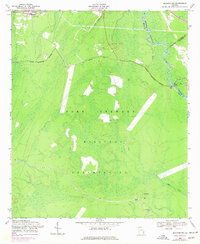
Editions of this 1958 Meldrim SW Map
3 editions found
Other maps of this area

1918 · Hinesville
USGS Topo · 1:62,500

1920 · Pembroke
USGS Topo · 1:62,500

1920 · Meldrim
USGS Topo · 1:62,500

1920 · Limerick
USGS Topo · 1:62,500

1942 · Meldrim
USGS Topo · 1:62,500

1944 · Hinesville
USGS Topo · 1:62,500

1944 · Limerick
USGS Topo · 1:62,500

1946 · Brunswick
USGS Topo · 1:250,000

1947 · Savannah
USGS Topo · 1:250,000

1948 · Brunswick
USGS Topo · 1:250,000