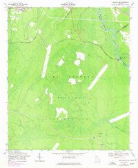
1958 Map of Meldrim SW
USGS Topo · Published 1977About this map
Fort Stewart Military Reservation dominates this 1950s landscape, illustrating the scale of military land acquisition in Bryan County during the mid-20th century. The transition from civilian to military use is marked by the presence of Clyde (Site), the former county seat, which appears here alongside Clyde Cem and Wise Cem. These remaining landmarks, along with various artesian wells, offer critical evidence for genealogists and local historians tracing families displaced by the reservation's expansion.
Find a feature on this map
18 named features on this map. Tap any name to fly to it.
Don’t see what you’re looking for? This feature index may not catch every label — zoom into the map to look around manually.
Map Details
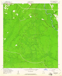
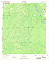
Editions of this 1958 Meldrim SW Map
3 editions found
Other maps of this area

1918 · Hinesville
USGS Topo · 1:62,500

1920 · Pembroke
USGS Topo · 1:62,500

1920 · Meldrim
USGS Topo · 1:62,500

1920 · Limerick
USGS Topo · 1:62,500

1942 · Meldrim
USGS Topo · 1:62,500

1944 · Hinesville
USGS Topo · 1:62,500

1944 · Limerick
USGS Topo · 1:62,500

1946 · Brunswick
USGS Topo · 1:250,000

1947 · Savannah
USGS Topo · 1:250,000

1948 · Brunswick
USGS Topo · 1:250,000