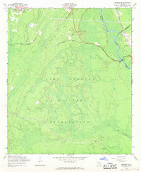
1958 Map of Meldrim SW
USGS Topo · Published 1969About this map
Fort Stewart Military Reservation dominates this landscape, covering a vast portion of the coastal plain between the Canoochee and Ogeechee rivers. The map provides a rare look at the former town of Clyde, appearing here only as a designated site along the southern boundary. This area, once the county seat of Bryan County, was absorbed by the military expansion in the 1940s, leaving only the Clyde Cem and Wise Cem as indicators of the previous settlement.
Find a feature on this map
19 named features on this map. Tap any name to fly to it.
Don’t see what you’re looking for? This feature index may not catch every label — zoom into the map to look around manually.
Map Details
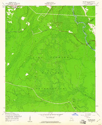
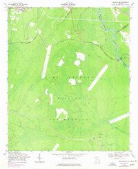
Editions of this 1958 Meldrim SW Map
3 editions found
Other maps of this area

1918 · Hinesville
USGS Topo · 1:62,500

1920 · Pembroke
USGS Topo · 1:62,500

1920 · Meldrim
USGS Topo · 1:62,500

1920 · Limerick
USGS Topo · 1:62,500

1942 · Meldrim
USGS Topo · 1:62,500

1944 · Hinesville
USGS Topo · 1:62,500

1944 · Limerick
USGS Topo · 1:62,500

1946 · Brunswick
USGS Topo · 1:250,000

1947 · Savannah
USGS Topo · 1:250,000

1948 · Brunswick
USGS Topo · 1:250,000