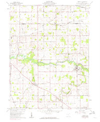
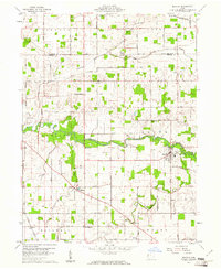
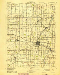
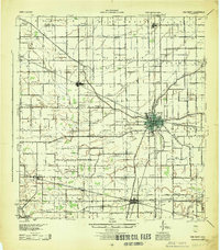
1960 Map of Mendon
USGS Topo · Published 1982About this map
The ST Marys River winds through the central portion of this Northwest Ohio landscape, serving as a geographic anchor for the rural communities of Mendon and Mercer. In the early 1960s, the area remained a patchwork of active agriculture and family-owned properties, evidenced by numerous cemeteries like Tomlinson Cem and Frisinger Cem that dot the townships of Liberty and Dublin. A significant engineering landmark, the Deep Cut, highlights the region's historic canal-era infrastructure near the riverbanks.
Find a feature on this map
82 named features on this map. Tap any name to fly to it.
Don’t see what you’re looking for? This feature index may not catch every label — zoom into the map to look around manually.
Map Details
Editions of this 1960 Mendon Map
2 editions found
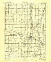
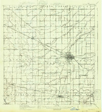
Other maps of this area

1911 · Spencerville
USGS Topo · 1:62,500
1911 · Delphos
USGS Topo · 1:62,500

1914 · Celina
USGS Topo · 1:62,500
1914 · Van Wert
USGS Topo · 1:62,500
1944 · Delphos
USGS Topo · 1:62,500
1944 · Van Wert
USGS Topo · 1:62,500

1944 · Celina
USGS Topo · 1:62,500

1944 · Spencerville
USGS Topo · 1:62,500

1953 · Muncie
USGS Topo · 1:250,000

1956 · Muncie
USGS Topo · 1:250,000