
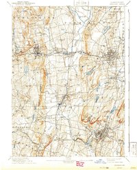
1893 Map of Meriden
USGS Topo · Published 1893About this map
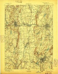
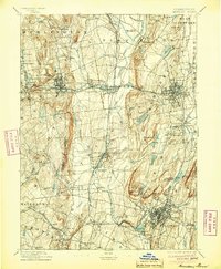
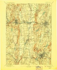
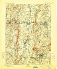
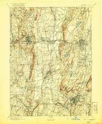
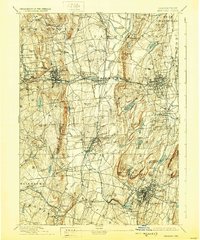
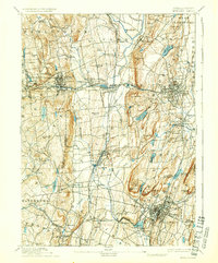
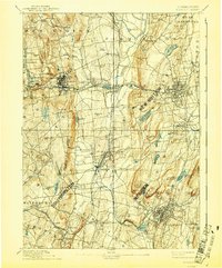
The industrial and transportation heart of Central Connecticut is documented here at the end of the 19th century. Dense urban development is visible in centers like Bristol, New Britain, and Meriden, where complex street grids are already well-established. The landscape is defined by the Quinnipiac River and the Pequabuck River, which served as vital corridors for growth. Two major rail systems, the New York and New England Railroad and the New York New Haven and Hartford Railroad, intersect at Plainville, illustrating the region's importance as a logistics hub. Beyond the factory towns, the map reveals smaller settlements like Whigville and Marion alongside recreation and water resources such as Compounce Pond and Shuttle Meadow Reservoir. The dramatic topography of the Metacomet Ridge is clearly etched, including Lamentation Mountain and West Peak.
Find a feature on this map
81 named features on this map. Tap any name to fly to it.
Don’t see what you’re looking for? This feature index may not catch every label — zoom into the map to look around manually.
Map Details
Editions of this 1893 Meriden Map
10 editions found
Other maps of this area

1889 · Derby
USGS Topo · 1:62,500

1891 · Derby
USGS Topo · 1:62,500

1892 · Winsted
USGS Topo · 1:62,500

1892 · Hartford
USGS Topo · 1:62,500

1892 · New Haven
USGS Topo · 1:62,500

1892 · Meriden
USGS Topo · 1:62,500

1892 · Granby
USGS Topo · 1:62,500

1893 · Guilford
USGS Topo · 1:62,500

1893 · Middletown
USGS Topo · 1:62,500

1893 · Waterbury
USGS Topo · 1:62,500