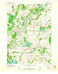
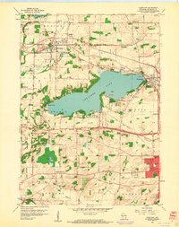
1959 Map of Merton
USGS Topo · Published 1961About this map
Holy Hill dominates the high ground in the northern reaches of this mid-century landscape, a prominent landmark overlooking the rolling kettle-and-kame terrain of southeast Wisconsin. The transition between Washington and Waukesha counties is defined by a dense network of glacial lakes including Lake Keesus, Friess Lake, and Lake Five, which shaped the early development of rural communities like Monches and Merton. The local economy and social fabric are evident in the cluster of institutions found along the Bark River and Oconomowoc River corridors.
Find a feature on this map
38 named features on this map. Tap any name to fly to it.
Don’t see what you’re looking for? This feature index may not catch every label — zoom into the map to look around manually.
Map Details
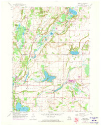
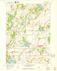
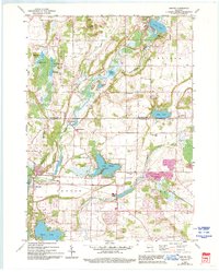
Editions of this 1959 Merton Map
4 editions found
Other maps of this area

1892 · Waukesha
USGS Topo · 1:62,500

1892 · Oconomowoc
USGS Topo · 1:62,500

1901 · Waukesha
USGS Topo · 1:62,500

1904 · West Bend
USGS Topo · 1:62,500

1904 · Hartford
USGS Topo · 1:62,500

1906 · Waukesha
USGS Topo · 1:62,500

1909 · Oconomowoc
USGS Topo · 1:62,500

1957 · Madison
USGS Topo · 1:250,000

1959 · West Bend
USGS Topo · 1:62,500
1959 · Hartland
USGS Topo · 1:24,000