
2022 Map of Meta
USGS Topo · Published 2022About this map
Pike County, Kentucky, is defined by the winding hollows and rugged coal-country terrain documented in this 2022 USGS survey. The city of Pikeville anchors the western edge, while smaller communities like Zebulon, Raccoon, and the namesake Meta are found nestled among the hills. For family historians, the map is an invaluable resource for locating remote burial grounds, including Chesnut Point Cem., Pinson Cem., Morris Cem., and Maynard Cem.. The intricate hydrology of the region is well-mapped, featuring Brushy Fork, Sycamore Cr, and the Right Fork of Brushy Rd. Cultural landmarks and transportation routes, such as the CSX Rd rail line and Zebulon Hwy, illustrate the modern infrastructure carved into the ancient peaks of Town Mtn and Ford Mtn.
Find a feature on this map
123 named features on this map. Tap any name to fly to it.
Don’t see what you’re looking for? This feature index may not catch every label — zoom into the map to look around manually.
Map Details
Editions of this 2022 Meta Map
This is the sole edition of this map. No revisions or reprints were ever made.
Historical Maps of Pikeville Through Time
32 maps found

1914 Vergie
Pike County, KY

1915 Regina
Pike County, KY

1917 Regina
Pike County, KY

1954 Broad Bottom
Pike County, KY

1954 Dorton
Pike County, KY

1954 Hellier
Pike County, KY

1954 Jamboree
Pike County, KY

1954 Lick Creek
Pike County, KY

1954 Meta
Pike County, KY

1954 Millard
Pike County, KY

1954 Varney
Pike County, KY

1963 Jamboree
Pike County, KY

1978 Lick Creek
Pike County, KY

1978 Meta
Pike County, KY

1978 Millard
Pike County, KY

1979 Broad Bottom
Pike County, KY

1992 Broad Bottom
Pike County, KY

1992 Dorton
Pike County, KY

1992 Jenkins East
Pike County, KY

1992 Meta
Pike County, KY

1992 Varney
Pike County, KY

2001 Majestic
Pike County, KY

2022 Broad Bottom
Pike County, KY
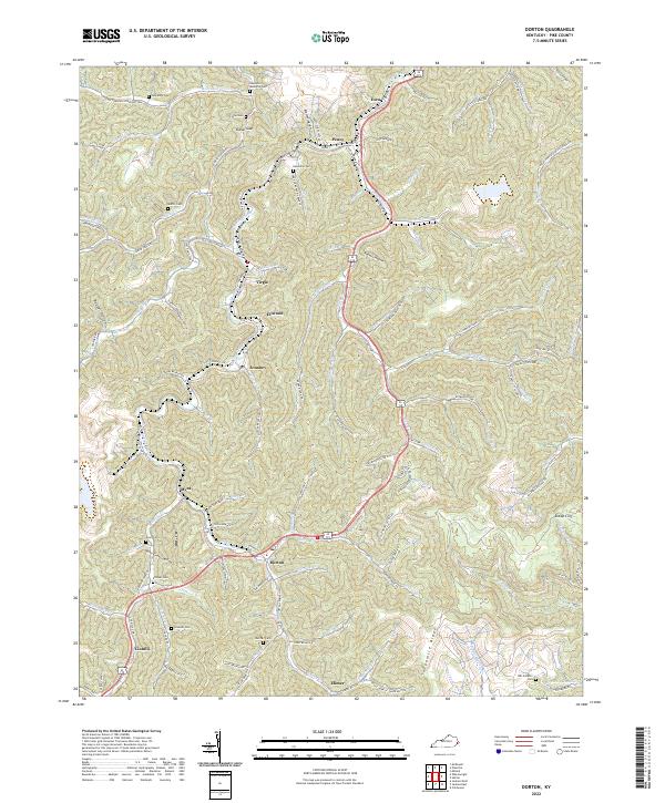
2022 Dorton
Pike County, KY
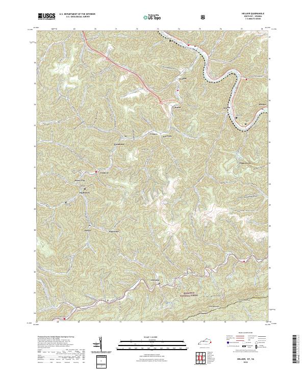
2022 Hellier
Pike County, KY

2022 Jamboree
Pike County, KY
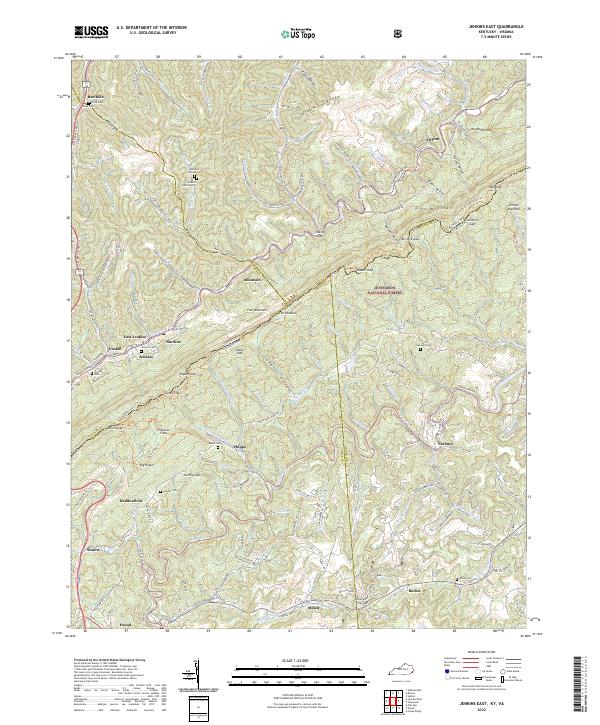
2022 Jenkins East
Pike County, KY

2022 Lick Creek
Pike County, KY

2022 Majestic
Pike County, KY
2022 Meta
Pike County, KY

2022 Millard
Pike County, KY

2022 Varney
Pike County, KY