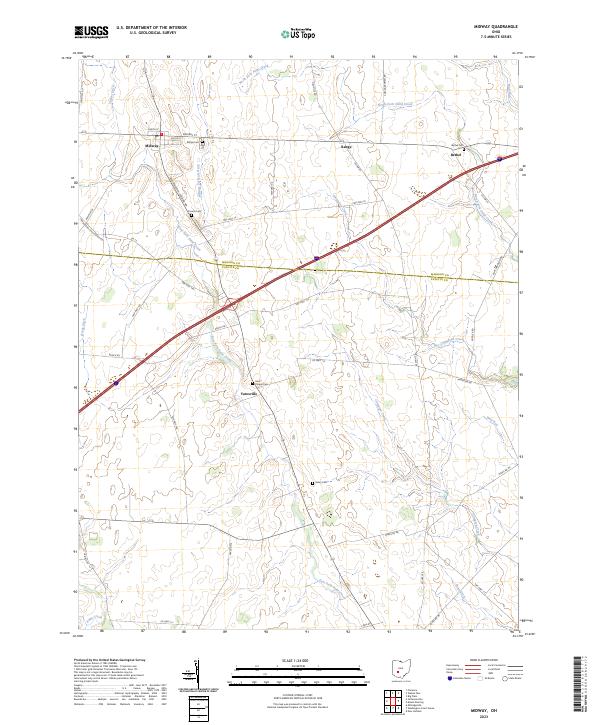
2023 Map of Midway
USGS Topo · Published 2023About this map
Midway and Yatesville anchor this agricultural landscape on the border of Madison and Fayette counties. The terrain is defined by a dense network of drainage channels and small waterways, including the North Fork Paint Creek and the man-made William Cathcart Ditch, which support the extensive farming operations of the region. This 2023 survey illustrates the enduring rural character of central Ohio, where small crossroads settlements like Range and Bethel persist alongside significant local history markers.
Find a feature on this map
53 named features on this map. Tap any name to fly to it.
Don’t see what you’re looking for? This feature index may not catch every label — zoom into the map to look around manually.
Map Details
Editions of this 2023 Midway Map
This is the sole edition of this map. No revisions or reprints were ever made.
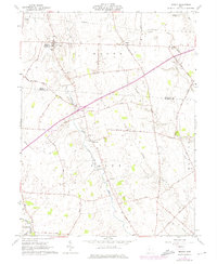
Historical Maps of Midway Through Time
Featured Locations
- Range Township, OH
- Stokes Township, OH
- Range, Range Township
- Bethel, Range Township
- Midway, Range Township