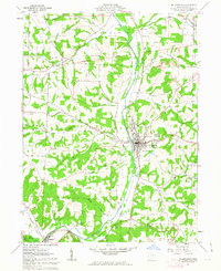
1961 Map of Millersburg
USGS Topo · Published 1962About this map
Millersburg serves as the focal point of this Holmes County landscape, situated where the Pennsylvania railroad tracks parallel the broad valley of Killbuck Creek. The map documents a complex historical boundary, the Greenville Treaty Line, which bisects the northern half of the area and separates distinct land survey systems. The terrain is deeply dissected by numerous small waterways like Uhl Run and Sapps Run, which cut through the ridges surrounding the central valley. Local life in the early 1960s is evidenced by several rural institutions, including the County Home and the Locust Grove Ch. Industrial and utility infrastructure is also well-represented, from numerous Strip Mine operations and a Quarry to the Briar Hill Airport and the local Waterworks facility. The presence of many Gas Well sites across the hillsides suggests the importance of subsurface resources to the local economy during this era.
Find a feature on this map
52 named features on this map. Tap any name to fly to it.
Don’t see what you’re looking for? This feature index may not catch every label — zoom into the map to look around manually.
Map Details
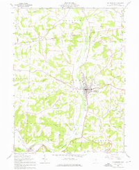
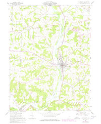
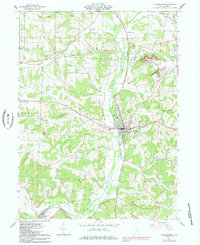
Editions of this 1961 Millersburg Map
4 editions found
Other maps of this area

1912 · Loudonville
USGS Topo · 1:62,500

1913 · Brinkhaven
USGS Topo · 1:62,500

1913 · Coshocton
USGS Topo · 1:62,500

1914 · Loudonville
USGS Topo · 1:62,500

1915 · Brinkhaven
USGS Topo · 1:62,500

1915 · Millersburg
USGS Topo · 1:62,500

1915 · Coshocton
USGS Topo · 1:62,500

1943 · Millersburg
USGS Topo · 1:62,500

1943 · Coshocton
USGS Topo · 1:62,500

1943 · Loudonville
USGS Topo · 1:62,500