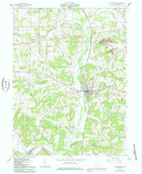
1961 Map of Millersburg
USGS Topo · Published 1985About this map
Millersburg serves as the focal point of this Holmes County survey, situated at the confluence of several waterway drainage systems including Killbuck Creek, Honey Run, and Sapps Run. The town's infrastructure in the early 1960s is meticulously documented, showing the Conrail rail line, a Radio Tower, and the local Holmes County Airport. The surrounding landscape is defined by the broad Prairie and a network of rural landmarks such as the County Home and Locust Grove Ch.
Find a feature on this map
46 named features on this map. Tap any name to fly to it.
Don’t see what you’re looking for? This feature index may not catch every label — zoom into the map to look around manually.
Map Details
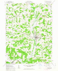
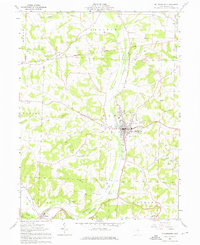
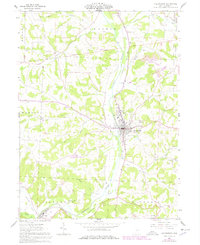
Editions of this 1961 Millersburg Map
4 editions found
Other maps of this area

1912 · Loudonville
USGS Topo · 1:62,500

1913 · Brinkhaven
USGS Topo · 1:62,500

1913 · Coshocton
USGS Topo · 1:62,500

1914 · Loudonville
USGS Topo · 1:62,500

1915 · Brinkhaven
USGS Topo · 1:62,500

1915 · Millersburg
USGS Topo · 1:62,500

1915 · Coshocton
USGS Topo · 1:62,500

1943 · Millersburg
USGS Topo · 1:62,500

1943 · Coshocton
USGS Topo · 1:62,500

1943 · Loudonville
USGS Topo · 1:62,500