
1906 Map of Milwaukee
USGS Topo · Published 1906About this map
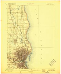
The Milwaukee River snakes through the heart of this coastal landscape, guiding the development of the city as it appeared at the turn of the century. Dense street grids in Milwaukee contrast with the outlying agricultural and residential patterns of townships like Mequon, Granville, and Wauwatosa. The industrial and transit-driven growth of the era is evident in the heavy concentration of rail infrastructure, including the Chicago and Northwestern RR and the C M and St P RR, which connected the urban core to northern outposts like Thiensville. Along the shores of Lake Michigan, prominent features such as North Point and the manicured grounds of Lake Park define the city's eastern edge. To the west, the National Home stands as a significant landmark near the burgeoning communities of West Allis and Wauwatosa, while northern villages like Whitefish Bay and Silver Spring represent the early expansion of the metropolitan area.
Find a feature on this map
32 named features on this map. Tap any name to fly to it.
Don’t see what you’re looking for? This feature index may not catch every label — zoom into the map to look around manually.
Map Details
Editions of this 1906 Milwaukee Map
4 editions found
Other maps of this area

1891 · Bayview
USGS Topo · 1:62,500

1891 · Muskego
USGS Topo · 1:62,500

1892 · Milwaukee
USGS Topo · 1:62,500

1892 · Waukesha
USGS Topo · 1:62,500

1892 · Port Washington
USGS Topo · 1:62,500

1901 · Milwaukee
USGS Topo · 1:62,500

1901 · Waukesha
USGS Topo · 1:62,500

1901 · Bayview
USGS Topo · 1:62,500

1901 · Muskego
USGS Topo · 1:62,500

1904 · West Bend
USGS Topo · 1:62,500