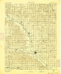
1892 Map of Minneapolis
USGS Topo · Published 1897About this map
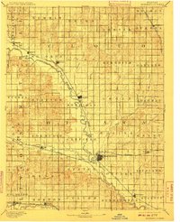
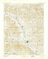
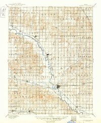
Minneapolis serves as the central hub of this late 19th-century survey, situated at a major bend in the Solomon River where the Atchison Topeka and Santa Fe Railroad meets the waterway. The landscape is defined by the heavy meanders of the Solomon and the Saline River, which cut through the township grid system of Ottawa and Cloud counties. Along these fertile corridors, early settlements like Delphos, Glasco, and Asherville follow the river’s path, reflecting the era's dependence on water access and newly laid rail lines for commerce.
Find a feature on this map
59 named features on this map. Tap any name to fly to it.
Don’t see what you’re looking for? This feature index may not catch every label — zoom into the map to look around manually.
Map Details
Editions of this 1892 Minneapolis Map
5 editions found
Other maps of this area

1889 · Abilene
USGS Topo · 1:125,000

1891 · Clay Center
USGS Topo · 1:125,000

1892 · Concordia
USGS Topo · 1:125,000

1892 · Salina
USGS Topo · 1:125,000

1892 · Minneapolis
USGS Topo · 1:125,000

1893 · Washington
USGS Topo · 1:125,000

1894 · Ellsworth
USGS Topo · 1:125,000

1894 · Abilene
USGS Topo · 1:125,000

1894 · Mankato
USGS Topo · 1:125,000

1894 · Beloit
USGS Topo · 1:125,000