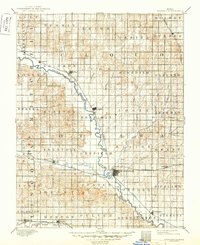
1892 Map of Minneapolis
USGS Topo · Published 1949About this map
The Solomon River defines the central corridor of this North Central Kansas region, carving a winding path through the landscape as it flows toward Minneapolis. Surveyed in 1890, the map illustrates an era of rapid rail expansion across the prairie, with the Union Pacific Railway following the river valley while the Atchison Topeka and Santa Fe Railroad cuts an east-west path through the township of Fountain. The settlement pattern is strictly organized around these transportation arteries, connecting agricultural outposts like Delphos, Glasco, and Ada. To the south, the Saline River clips the corner of the map near Beverly, while a dense network of tributaries including Salt Creek and Pipe Creek drain the surrounding townships. The intricate topographic contours reveal the subtle draws and rises of the plains, showing the land as it was managed and partitioned by the turn-of-the-century farming economy.
Find a feature on this map
58 named features on this map. Tap any name to fly to it.
Don’t see what you’re looking for? This feature index may not catch every label — zoom into the map to look around manually.
Map Details
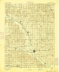
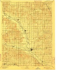
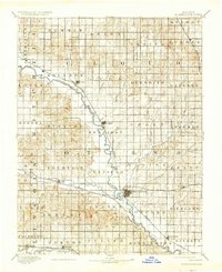
Editions of this 1892 Minneapolis Map
5 editions found
Other maps of this area

1889 · Abilene
USGS Topo · 1:125,000

1891 · Clay Center
USGS Topo · 1:125,000

1892 · Concordia
USGS Topo · 1:125,000

1892 · Salina
USGS Topo · 1:125,000

1892 · Minneapolis
USGS Topo · 1:125,000

1893 · Washington
USGS Topo · 1:125,000

1894 · Ellsworth
USGS Topo · 1:125,000

1894 · Abilene
USGS Topo · 1:125,000

1894 · Mankato
USGS Topo · 1:125,000

1894 · Beloit
USGS Topo · 1:125,000