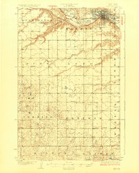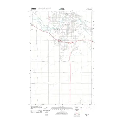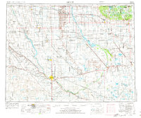
1954 Map of Minot
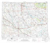
USGS Topo · Published 1974About this map
The Souris River carves a dramatic loop through the North Dakota plains, anchoring a landscape defined by significant wildlife conservation and the international border. In the north, the Turtle Mountains rise above the surrounding prairie, hosting Lake Metigoshe State Park and the International Peace Garden on the boundary between the United States and Canada. The region is a critical corridor for migratory birds, protected within the Des Lacs National Wildlife Refuge, the Upper Souris National Wildlife Refuge at Lake Darling, and the expansive J Clark Salyer NWR.
Find a feature on this map
147 named features on this map. Tap any name to fly to it.
Don’t see what you’re looking for? This feature index may not catch every label — zoom into the map to look around manually.
Map Details
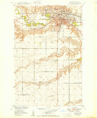
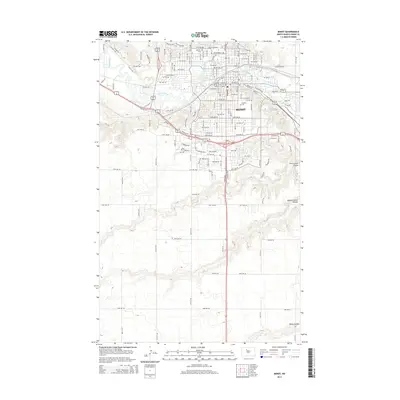
Editions of this 1954 Minot Map
3 editions found

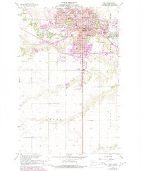
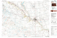
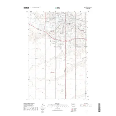
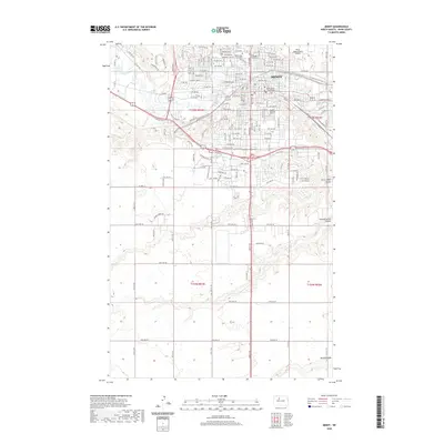
Historical Maps of Minot Through Time
11 maps found