
1942 Map of Moca
USGS Topo · Published 1942About this map
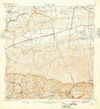
The Cordillera Jaicoa dominates the center of this 1940s landscape, creating a distinct topographical divide between the northern coastal plains and the valley of the Rio Culebrinas. To the north, the infrastructure of the early 20th century is evident through the American R. R. of Porto Rico, which connected various settlements via stops like Estacion Montana and Estacion Arenales. This rail network supported the regional economy alongside the Planta Electrica de Isabela.
Find a feature on this map
38 named features on this map. Tap any name to fly to it.
Don’t see what you’re looking for? This feature index may not catch every label — zoom into the map to look around manually.
Map Details
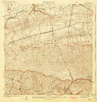
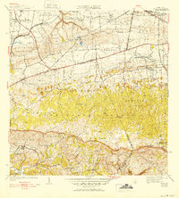
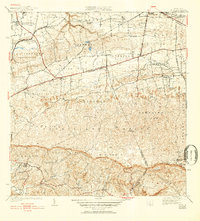
Editions of this 1942 Moca Map
5 editions found
Other maps of this area

1937 · Aguadilla
USGS Topo · 1:20,000

1937 · Moca
USGS Topo · 1:20,000

1938 · Alto Sano
USGS Topo · 1:20,000

1938 · San Sebastian
USGS Topo · 1:20,000

1938 · Quebradillas
USGS Topo · 1:20,000

1941 · Moca
USGS Topo · 1:30,000

1941 · Rincon
USGS Topo · 1:30,000

1941 · Rincon
USGS Topo · 1:30,000

1941 · Isabela
USGS Topo · 1:30,000

1941 · San Sebastian
USGS Topo · 1:30,000
Featured Places
- Moca, Moca
- Sector Los Laureles, Aguadilla
- Reparto Méndez, Isabela
- Reparto Santa María, Aguadilla
- Sector Nieves, Moca