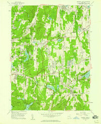
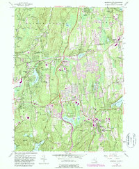
1956 Map of Mohegan Lake
USGS Topo · Published 1958About this map
Loyola Seminary stands as a prominent landmark in this mid-century survey of the northern Westchester and southern Putnam borderlands. The landscape is characterized by a transition from traditional crossroads like Shrub Oak and Jefferson Valley toward more modern residential development, anchored by major infrastructure like the Taconic State Parkway and the Amawalk Reservoir. Cultural and social centers are well-represented, from the Home for the Aged and the Leila Leeds Memorial Chapel to several local schools including Lakeland High Sch.
Find a feature on this map
77 named features on this map. Tap any name to fly to it.
Don’t see what you’re looking for? This feature index may not catch every label — zoom into the map to look around manually.
Map Details
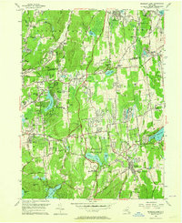
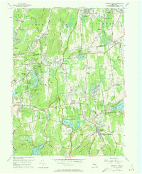
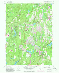
Editions of this 1956 Mohegan Lake Map
5 editions found
Other maps of this area

1892 · Stamford
USGS Topo · 1:62,500

1892 · West Point
USGS Topo · 1:62,500

1892 · Carmel
USGS Topo · 1:62,500

1892 · Tarrytown
USGS Topo · 1:62,500

1893 · Carmel
USGS Topo · 1:62,500

1893 · Stamford
USGS Topo · 1:62,500

1893 · Tarrytown
USGS Topo · 1:62,500

1894 · West Point
USGS Topo · 1:62,500

1894 · Carmel
USGS Topo · 1:62,500

1899 · Stamford
USGS Topo · 1:62,500