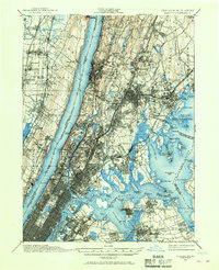
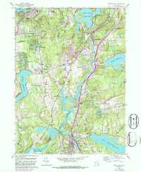
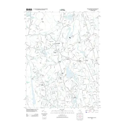
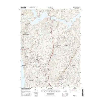
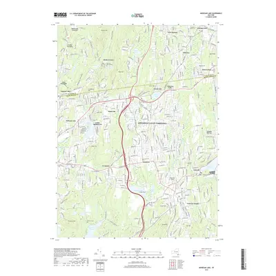
1956 Map of Mohegan Lake
USGS Topo · Published 1973About this map
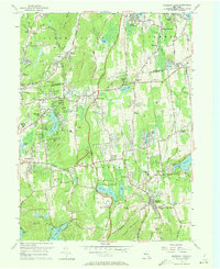
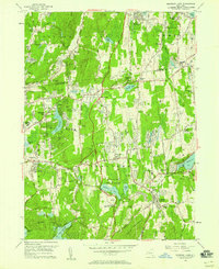
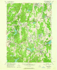
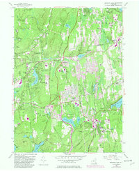
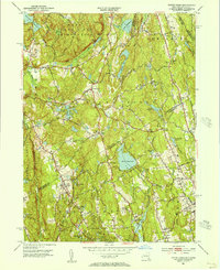
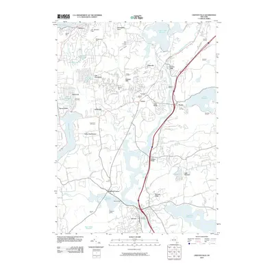
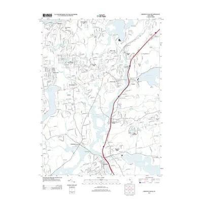
Mohansic State Park and the surrounding Westchester and Putnam County borderlands show a mid-century landscape of expanding residential hamlets and institutional landmarks. The Taconic State Parkway cuts through the center of the sheet, bridging the gap between Yorktown Heights and the northern settlements. This era is defined by prominent religious and social facilities, including the expansive grounds of Loyola Seminary and several community-focused sites like the Home for the Aged Water and the CYO Camp.
Find a feature on this map
114 named features on this map. Tap any name to fly to it.
Don’t see what you’re looking for? This feature index may not catch every label — zoom into the map to look around manually.
Map Details
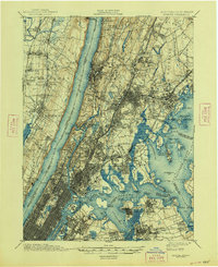
Editions of this 1956 Mohegan Lake Map
5 editions found
Historical Maps of Cortlandt Through Time
41 maps found
1897 Harlem
Westchester County, NY

1898 Harlem
Westchester County, NY
1900 Harlem
Westchester County, NY

1936 Ossining
Westchester County, NY
1943 Ossining
Westchester County, NY
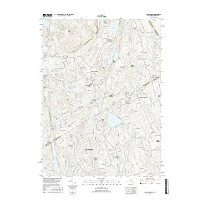
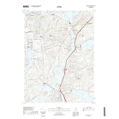
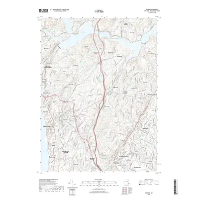
1944 Croton Falls
Westchester County, NY

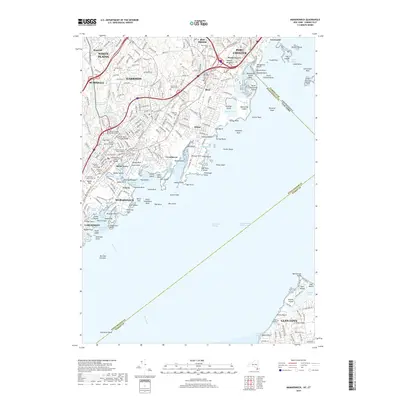
1947 Mamaroneck
Westchester County, NY

1947 Mt Vernon
Westchester County, NY

1947 Pound Ridge
Westchester County, NY
1951 Pound Ridge
Westchester County, NY
1955 Mamaroneck
Westchester County, NY
1955 Ossining
Westchester County, NY
1956 Mohegan Lake
Westchester County, NY
1960 Croton Falls
Westchester County, NY
1960 Pound Ridge
Westchester County, NY
1967 Mamaroneck
Westchester County, NY
1967 Ossining
Westchester County, NY
2010 Croton Falls
Westchester County, NY
2010 Mohegan Lake
Westchester County, NY
2010 Ossining
Westchester County, NY
2011 Mamaroneck
Westchester County, NY
2013 Croton Falls
Westchester County, NY
2013 Mamaroneck
Westchester County, NY
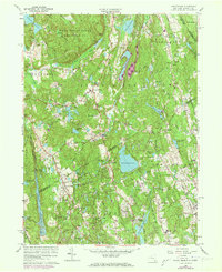
2013 Mohegan Lake
Westchester County, NY
2013 Ossining
Westchester County, NY
2013 Pound Ridge
Westchester County, NY
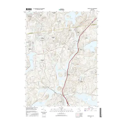
2016 Croton Falls
Westchester County, NY
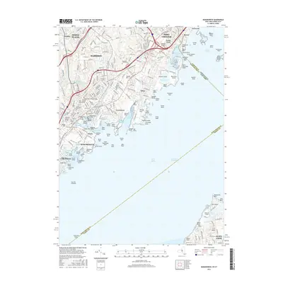
2016 Mamaroneck
Westchester County, NY
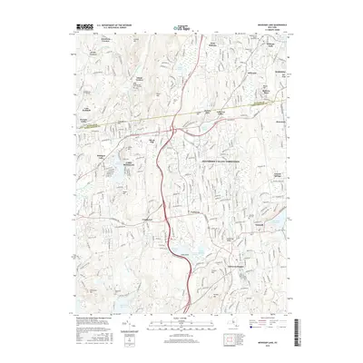
2016 Mohegan Lake
Westchester County, NY
2016 Ossining
Westchester County, NY
2016 Pound Ridge
Westchester County, NY
2019 Croton Falls
Westchester County, NY
2019 Mamaroneck
Westchester County, NY
2019 Mohegan Lake
Westchester County, NY
2019 Ossining
Westchester County, NY
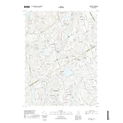
2019 Pound Ridge
Westchester County, NY

2023 Croton Falls
Westchester County, NY

2023 Mamaroneck
Westchester County, NY

2023 Mohegan Lake
Westchester County, NY

2023 Ossining
Westchester County, NY

2023 Pound Ridge
Westchester County, NY