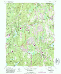
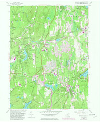
1956 Map of Mohegan Lake
USGS Topo · Published 1987About this map
Mohansic State Park and the surrounding Westchester and Putnam county landscapes showcase a region defined by its water resources and institutional heritage. At the center, Yorktown and Yorktown Heights serve as primary hubs, while the expansive waters of Amawalk Reservoir and the New Croton Reservoir illustrate the area's role in the regional watershed system. The presence of Loyola Seminary and various religious landmarks like St Georges Ch and Church of the Hill reflect the community's mid-century social fabric. Local topography is marked by named summits such as Turkey Mountain and Granite Mtn, with many smaller residential clusters like Shrub Oak and Jefferson Valley interconnected by established routes like the Taconic State Parkway. The map also captures several cemeteries, including Lawson Cem, and facilities like the Home for the Aged, providing vital data points for local genealogists studying the evolution of these towns.
Find a feature on this map
98 named features on this map. Tap any name to fly to it.
Don’t see what you’re looking for? This feature index may not catch every label — zoom into the map to look around manually.
Map Details
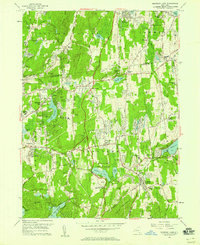
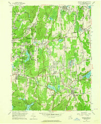
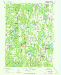
Editions of this 1956 Mohegan Lake Map
5 editions found
Other maps of this area

1892 · Stamford
USGS Topo · 1:62,500

1892 · West Point
USGS Topo · 1:62,500

1892 · Carmel
USGS Topo · 1:62,500

1892 · Tarrytown
USGS Topo · 1:62,500

1893 · Carmel
USGS Topo · 1:62,500

1893 · Stamford
USGS Topo · 1:62,500

1893 · Tarrytown
USGS Topo · 1:62,500

1894 · West Point
USGS Topo · 1:62,500

1894 · Carmel
USGS Topo · 1:62,500

1899 · Stamford
USGS Topo · 1:62,500