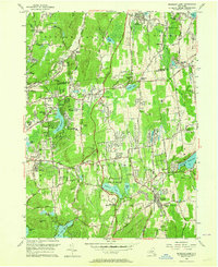
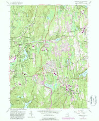
1956 Map of Mohegan Lake
USGS Topo · Published 1964About this map
Mohansic State Park serves as a central landmark in this mid-century landscape, surrounding the waters of Mohansic Lake and Crom Pond. The map reveals a suburbanizing countryside north of the New Croton Reservoir, where local institutions like Loyola Seminary and the Leila Leeds Memorial Chapel are prominent. The terrain is defined by a series of north-south ridges and hills, including Granite Mtn and French Hill, which separate established settlements like Shrub Oak, Jefferson Valley, and Amawalk.
Find a feature on this map
81 named features on this map. Tap any name to fly to it.
Don’t see what you’re looking for? This feature index may not catch every label — zoom into the map to look around manually.
Map Details
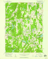
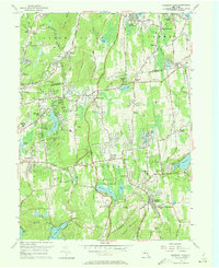
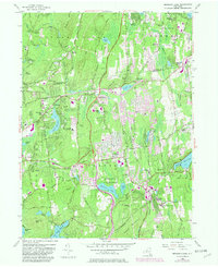
Editions of this 1956 Mohegan Lake Map
5 editions found
Other maps of this area

1892 · Stamford
USGS Topo · 1:62,500

1892 · West Point
USGS Topo · 1:62,500

1892 · Carmel
USGS Topo · 1:62,500

1892 · Tarrytown
USGS Topo · 1:62,500

1893 · Carmel
USGS Topo · 1:62,500

1893 · Stamford
USGS Topo · 1:62,500

1893 · Tarrytown
USGS Topo · 1:62,500

1894 · West Point
USGS Topo · 1:62,500

1894 · Carmel
USGS Topo · 1:62,500

1899 · Stamford
USGS Topo · 1:62,500