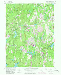
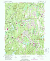
1956 Map of Mohegan Lake
USGS Topo · Published 1981About this map
Yorktown Heights and the surrounding Westchester County landscape are documented here during a period of significant mid-century suburbanization. The map reveals the area's transition from a rural, agrarian past toward a more developed residential character, evidenced by the numerous schools like Central Sch and Lakeland Sch appearing alongside traditional landmarks. Local heritage is deeply embedded in the terrain, from the Lawson Cem in the north to the Tomahawk Chapel Cem near Granite Springs.
Find a feature on this map
71 named features on this map. Tap any name to fly to it.
Don’t see what you’re looking for? This feature index may not catch every label — zoom into the map to look around manually.
Map Details
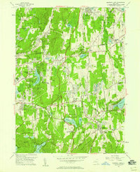
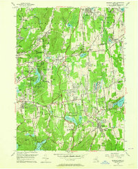
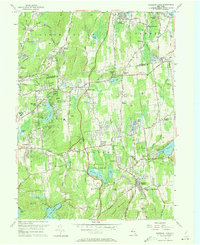
Editions of this 1956 Mohegan Lake Map
5 editions found
Other maps of this area

1892 · Stamford
USGS Topo · 1:62,500

1892 · West Point
USGS Topo · 1:62,500

1892 · Carmel
USGS Topo · 1:62,500

1892 · Tarrytown
USGS Topo · 1:62,500

1893 · Carmel
USGS Topo · 1:62,500

1893 · Stamford
USGS Topo · 1:62,500

1893 · Tarrytown
USGS Topo · 1:62,500

1894 · West Point
USGS Topo · 1:62,500

1894 · Carmel
USGS Topo · 1:62,500

1899 · Stamford
USGS Topo · 1:62,500