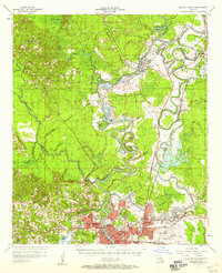
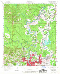
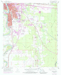
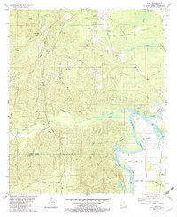
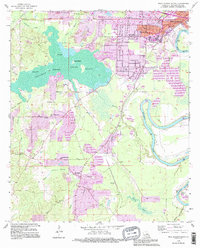
1957 Map of Monroe North
USGS Topo · Published 1958This historical map portrays the area of Monroe North in 1957, primarily covering Ouachita Parish as well as portions of Morehouse Parish and Union Parish. Featuring a scale of 1:62500, this map provides a highly detailed snapshot of the terrain, roads, buildings, counties, and historical landmarks in the Monroe North region at the time. Published in 1958, it is one of 2 known editions of this map due to revisions or reprints.
Find a feature on this map
90 named features on this map. Tap any name to fly to it.
Don’t see what you’re looking for? This feature index may not catch every label — zoom into the map to look around manually.
Map Details
Editions of this 1957 Monroe North Map
2 editions found
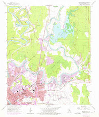
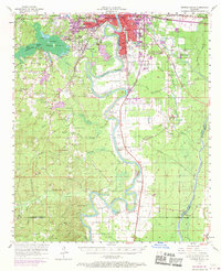
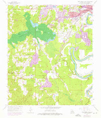
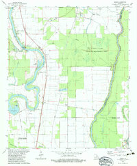
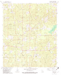
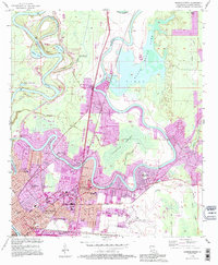
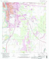
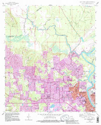
Historical Maps of River Oaks Through Time
18 maps found

1935 Drew
Ouachita Parish, LA
1957 Monroe North
Ouachita Parish, LA
1957 Monroe North
Ouachita Parish, LA
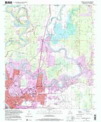
1957 Monroe South
Ouachita Parish, LA
1957 Monroe South
Ouachita Parish, LA

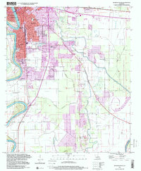
1957 West Monroe North
Ouachita Parish, LA
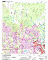
1957 West Monroe South
Ouachita Parish, LA

1969 Monroe North
Ouachita Parish, LA
1982 Bosco
Ouachita Parish, LA
1982 Cadeville
Ouachita Parish, LA
1982 Luna
Ouachita Parish, LA
1994 Monroe North
Ouachita Parish, LA
1994 Monroe South
Ouachita Parish, LA
1994 West Monroe North
Ouachita Parish, LA
1994 West Monroe South
Ouachita Parish, LA
1999 Monroe North
Ouachita Parish, LA
1999 Monroe South
Ouachita Parish, LA
1999 West Monroe North
Ouachita Parish, LA