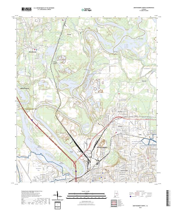
2024 Map of Montgomery North
USGS Topo · Published 2024About this map
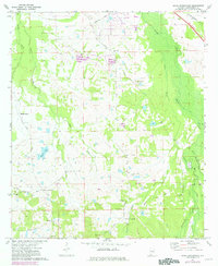
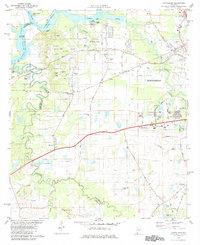
The confluence of the Coosa River and Tallapoosa River defines the landscape north of Montgomery, where river navigation and rail history intersect. Large sandbars and river hazards like Three Chutes Bar, Lower Gause Bar, and Glenns Chute illustrate the complex hydrography of the Alabama River headwaters. The industrial and transportation legacy of the region is evident in the rail lines serving Kilby and the Prattville Junction, alongside established residential areas like Capitol Heights and Chisholm.
Find a feature on this map
60 named features on this map. Tap any name to fly to it.
Don’t see what you’re looking for? This feature index may not catch every label — zoom into the map to look around manually.
Map Details
Editions of this 2024 Montgomery North Map
This is the sole edition of this map. No revisions or reprints were ever made.
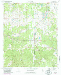
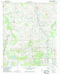
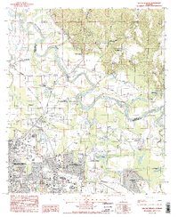
Historical Maps of Eastern Meadows Through Time
32 maps found

1957 Letohatchee
Montgomery County, AL
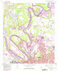
1958 Montgomery North
Montgomery County, AL
1958 Montgomery South
Montgomery County, AL
1958 Mount Meigs
Montgomery County, AL
1971 Davis Crossroads
Montgomery County, AL
1971 Pine Level
Montgomery County, AL
1971 Ramer
Montgomery County, AL
1971 Teasleys Mill
Montgomery County, AL

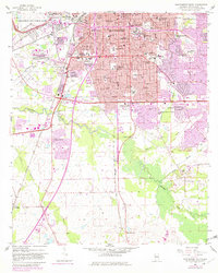
1975 Montgomery North
Montgomery County, AL

1975 Montgomery South
Montgomery County, AL

1975 Montgomery SW
Montgomery County, AL

1975 Mount Meigs NW
Montgomery County, AL

1975 Mount Meigs SE
Montgomery County, AL

1975 Mount Meigs SW
Montgomery County, AL
1981 Cantelous
Montgomery County, AL
1981 Sellers
Montgomery County, AL
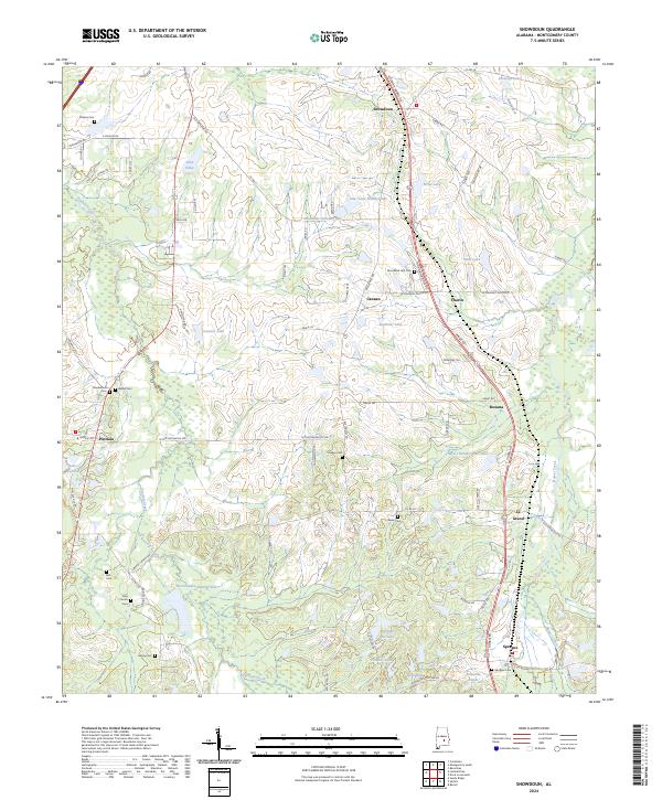
1981 Snowdoun
Montgomery County, AL

1987 Barachias
Montgomery County, AL

1987 Mount Meigs
Montgomery County, AL
1987 Willow Springs
Montgomery County, AL
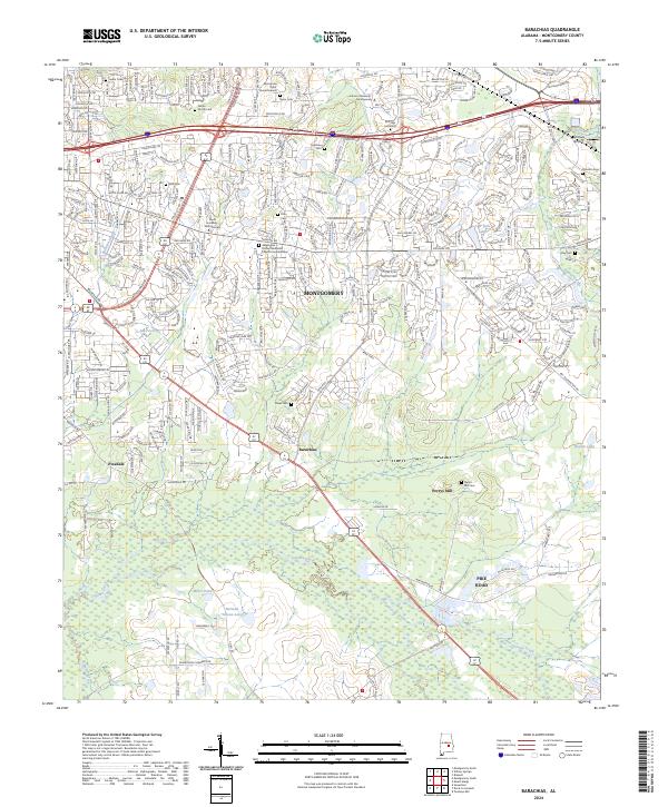
2024 Barachias
Montgomery County, AL
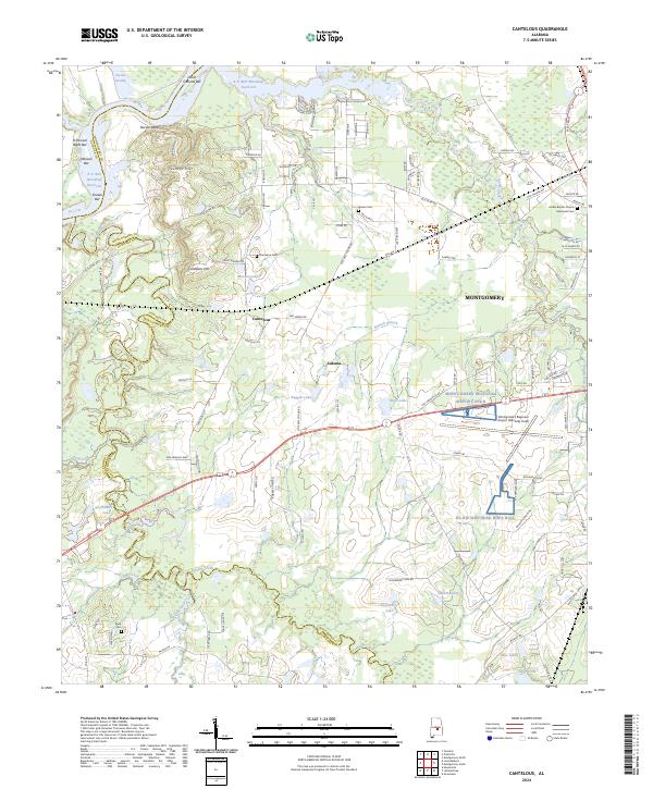
2024 Cantelous
Montgomery County, AL
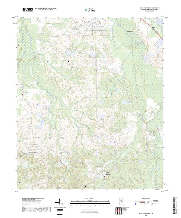
2024 Davis Crossroads
Montgomery County, AL
2024 Montgomery North
Montgomery County, AL
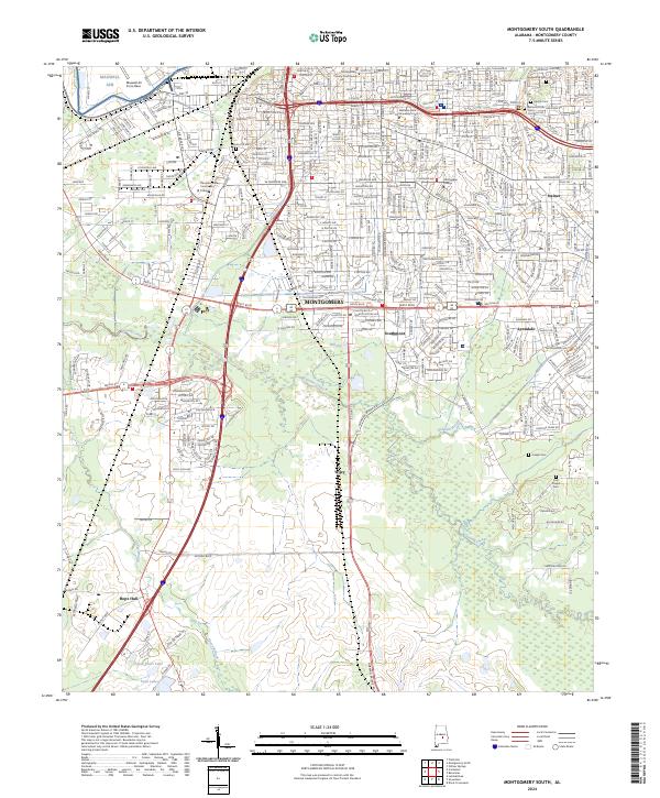
2024 Montgomery South
Montgomery County, AL
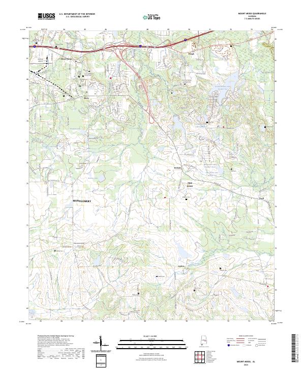
2024 Mount Meigs
Montgomery County, AL
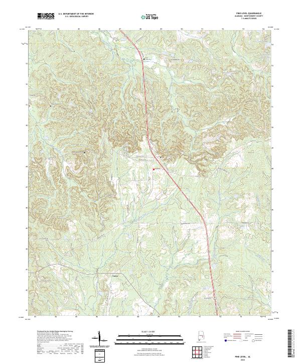
2024 Pine Level
Montgomery County, AL
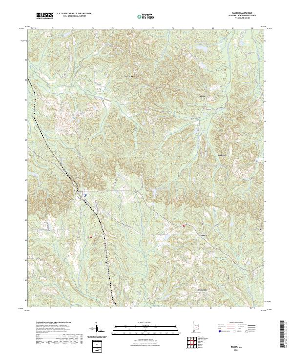
2024 Ramer
Montgomery County, AL
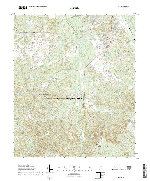
2024 Sellers
Montgomery County, AL
2024 Snowdoun
Montgomery County, AL
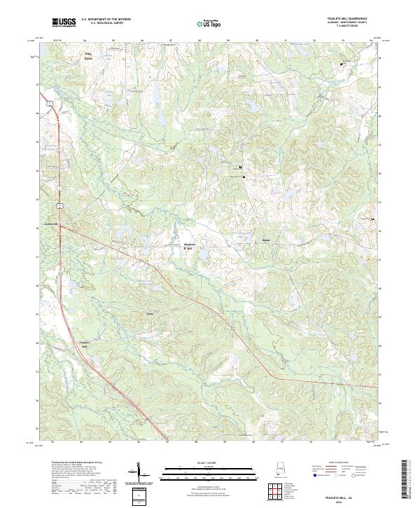
2024 Teasleys Mill
Montgomery County, AL
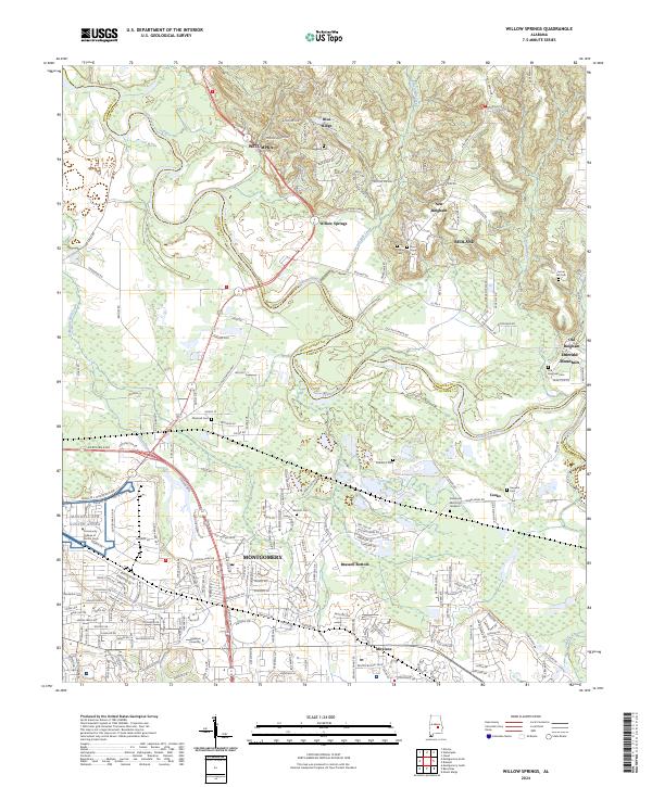
2024 Willow Springs
Montgomery County, AL