
1958 Map of Montgomery South
USGS Topo · Published 1959About this map
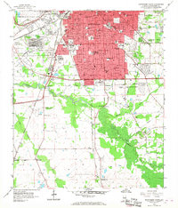
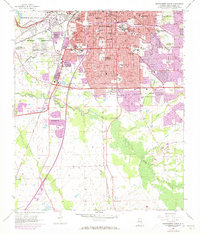
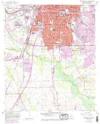
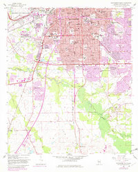
Montgomery expands southward in the late 1950s, revealing a landscape where dense urban institutional growth meets the winding bottomlands of Catoma Creek. The sheet is notable for its concentration of educational and religious landmarks, including Alabama State College, Huntingdon College, and the sprawling St Jude Institution. To the northwest, the Maxwell Air Force Base Military Reservation dominates the bend of the river, while the city's infrastructure is marked by the presence of St Margaret Hospital and multiple radio towers like Tower (WCOV-TV). Moving away from the city center, the terrain transitions into the agricultural and marshy reaches of Baldwin Slough and Whites Slough, where smaller settlements like Hope Hull and McGehees sit along the Louisville and Nashville Railroad.
Find a feature on this map
72 named features on this map. Tap any name to fly to it.
Don’t see what you’re looking for? This feature index may not catch every label — zoom into the map to look around manually.
Map Details
Editions of this 1958 Montgomery South Map
5 editions found
Other maps of this area

1927 · Montgomery
USGS Topo · 1:48,000

1930 · Montgomery
USGS Topo · 1:62,500

1953 · Montgomery
USGS Topo · 1:250,000

1956 · Montgomery
USGS Topo · 1:250,000

1957 · Montgomery
USGS Topo · 1:250,000

1957 · Letohatchee
USGS Topo · 1:62,500

1958 · Montgomery
USGS Topo · 1:62,500

1958 · Montgomery North
USGS Topo · 1:24,000

1958 · Mount Meigs
USGS Topo · 1:62,500

1971 · Davis Crossroads
USGS Topo · 1:24,000
Featured Places
- Montgomery, AL
- Perry Hills, Montgomery
- Cleveland Meadows, Montgomery
- Windwood, Montgomery
- Mayfair, Montgomery