
1912 Map of Moon Lake
USGS Topo · Published 1912About this map
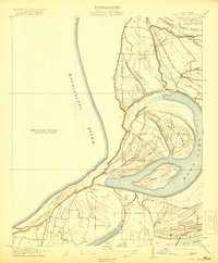
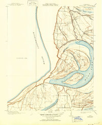
Moon Lake and the complex hydrology of the Mississippi Delta dominate this 1912 topographical study. The landscape is defined by its relation to the Mississippi River, which forms the western boundary, and the intricate network of chutes, passes, and oxbows typical of the region. Distinct landforms like Texas Island and Alcorn Island are surrounded by water bodies such as Long Lake and the Ginhouse Chute.
Find a feature on this map
22 named features on this map. Tap any name to fly to it.
Don’t see what you’re looking for? This feature index may not catch every label — zoom into the map to look around manually.
Map Details
Editions of this 1912 Moon Lake Map
3 editions found
Other maps of this area

1908 · Lula
USGS Topo · 1:24,000

1908 · Dundee
USGS Topo · 1:24,000

1908 · Coahoma
USGS Topo · 1:24,000

1908 · Moon Lake
USGS Topo · 1:24,000

1908 · Jonestown
USGS Topo · 1:24,000

1910 · Dundee
USGS Topo · 1:31,680

1910 · Coahoma
USGS Topo · 1:31,680

1910 · Jonestown
USGS Topo · 1:31,680

1912 · Lula
USGS Topo · 1:31,680

1932 · Marks
USGS Topo · 1:48,000