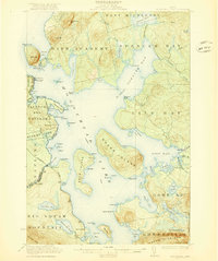
1922 Map of Moosehead Lake
USGS Topo · Published 1922About this map
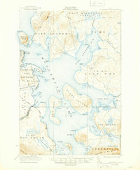
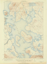
Moosehead Lake serves as the central hub of this 1920s Maine wilderness, where water and rail networks converged to support a burgeoning outdoor recreation and timber economy. The prominent profile of Mt Kineo rises above the lake, while Kineo Station and Rockwood mark essential points of entry for travelers arriving via the Maine Central and Canadian Pacific railroads. The map highlights the rugged character of the North Woods, showing early settlements like Capens on Deer Island and the Masterman School near Lambs Cove.
Find a feature on this map
103 named features on this map. Tap any name to fly to it.
Don’t see what you’re looking for? This feature index may not catch every label — zoom into the map to look around manually.
Map Details
Editions of this 1922 Moosehead Lake Map
7 editions found
Other maps of this area

1905 · The Forks
USGS Topo · 1:62,500

1907 · The Forks
USGS Topo · 1:62,500

1920 · Moosehead Lake
USGS Topo · 1:62,500

1921 · Brassua Lake
USGS Topo · 1:62,500

1922 · Moosehead Lake
USGS Topo · 1:62,500

1923 · Brassua Lake
USGS Topo · 1:62,500

1930 · Moosehead Lake
USGS Topo · 1:62,500

1944 · Brassua Lake
USGS Topo · 1:62,500

1944 · Moosehead Lake
USGS Topo · 1:62,500

1950 · Sebec Lake
USGS Topo · 1:62,500