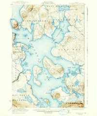
1922 Map of Moosehead Lake
USGS Topo · Published 1938About this map
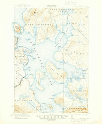
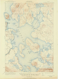
Moosehead Lake dominates this 1920s topography, revealing a landscape defined by its deep inland waters and the transition from rail to steamboat travel. The prominent Mt Kineo rises sharply above North Bay, while the Central Maine and Somerset railroads terminate near the water's edge at Rockwood and Kineo Station. This survey captures the region as a developed wilderness, where remote outposts like Capens and Wildwood were accessible primarily by the established Steamboat route or the Canadian Pacific line passing through Moosehead. Local life is anchored by small landmarks such as the Masterman School in the Taunton and Raynham Tract and seasonal settlements like Sugar Island. The map meticulously details the complex shoreline of Spencer Bay and the numerous islands, including Deer Island, that break the surface of Maine's largest lake.
Find a feature on this map
106 named features on this map. Tap any name to fly to it.
Don’t see what you’re looking for? This feature index may not catch every label — zoom into the map to look around manually.
Map Details
Editions of this 1922 Moosehead Lake Map
7 editions found
Other maps of this area

1905 · The Forks
USGS Topo · 1:62,500

1907 · The Forks
USGS Topo · 1:62,500

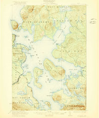
1920 · Moosehead Lake
USGS Topo · 1:62,500

1921 · Brassua Lake
USGS Topo · 1:62,500

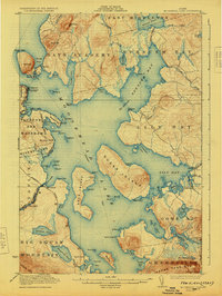
1922 · Moosehead Lake
USGS Topo · 1:62,500

1923 · Brassua Lake
USGS Topo · 1:62,500

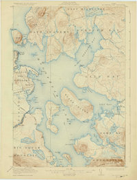
1930 · Moosehead Lake
USGS Topo · 1:62,500

1944 · Brassua Lake
USGS Topo · 1:62,500

1944 · Moosehead Lake
USGS Topo · 1:62,500

1950 · Sebec Lake
USGS Topo · 1:62,500