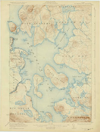
1922 Map of Moosehead Lake
USGS Topo · Published 1930About this map
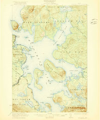
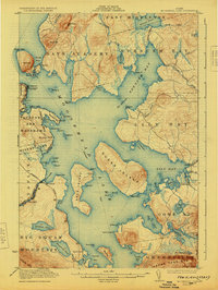
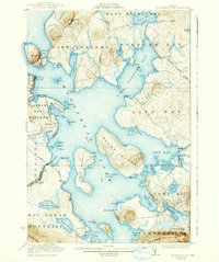
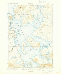
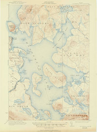
Sugar Island and Deer Island dominate the central waters of this 1920 survey, reflecting an era when steamboats and railroads were the primary arteries for Maine’s wilderness interior. The map documents a complex network of land grants, including the Days Academy Grant and the Taunton and Raynham Academy Grant, which partitioned the timberlands surrounding the lake. Along the western shore, the Central Maine Railroad and Canadian Pacific Railroad intersect at Rockwood and Kineo Station, supporting the local economy and the grand seasonal hotels of Kineo. Further south, the remote Masterman School and the settlement of Capens provide evidence of permanent lakeside communities. This landscape is defined by its deep coves and prominent peaks, from Mt Kineo in the north to the massive profile of Big Squaw Mountain overlooking Greenville in the south.
Find a feature on this map
103 named features on this map. Tap any name to fly to it.
Don’t see what you’re looking for? This feature index may not catch every label — zoom into the map to look around manually.
Map Details
Editions of this 1922 Moosehead Lake Map
7 editions found
Other maps of this area

1905 · The Forks
USGS Topo · 1:62,500

1907 · The Forks
USGS Topo · 1:62,500

1920 · Moosehead Lake
USGS Topo · 1:62,500

1921 · Brassua Lake
USGS Topo · 1:62,500

1922 · Moosehead Lake
USGS Topo · 1:62,500

1923 · Brassua Lake
USGS Topo · 1:62,500

1930 · Moosehead Lake
USGS Topo · 1:62,500

1944 · Brassua Lake
USGS Topo · 1:62,500

1944 · Moosehead Lake
USGS Topo · 1:62,500

1950 · Sebec Lake
USGS Topo · 1:62,500