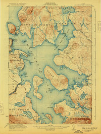
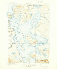
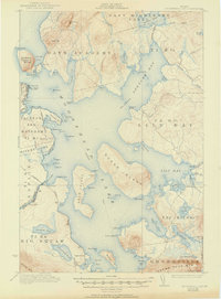
1922 Map of Moosehead Lake
USGS Topo · Published 1930About this map
Moosehead Lake dominates this 1920s survey, revealing a landscape defined by industrial transit and early recreational access. The presence of the Maine Central Railroad and the Canadian Pacific Railroad meeting at Moosehead highlights the importance of rail logistics in the Maine woods, while the Steamboat Route winding past Sugar Island and Deer Island shows how water remained a primary thoroughfare for commerce and travelers alike.
Find a feature on this map
102 named features on this map. Tap any name to fly to it.
Don’t see what you’re looking for? This feature index may not catch every label — zoom into the map to look around manually.
Map Details
Editions of this 1922 Moosehead Lake Map
7 editions found
Other maps of this area

1905 · The Forks
USGS Topo · 1:62,500

1907 · The Forks
USGS Topo · 1:62,500

1920 · Moosehead Lake
USGS Topo · 1:62,500

1921 · Brassua Lake
USGS Topo · 1:62,500

1922 · Moosehead Lake
USGS Topo · 1:62,500

1923 · Brassua Lake
USGS Topo · 1:62,500

1930 · Moosehead Lake
USGS Topo · 1:62,500

1944 · Brassua Lake
USGS Topo · 1:62,500

1944 · Moosehead Lake
USGS Topo · 1:62,500

1950 · Sebec Lake
USGS Topo · 1:62,500