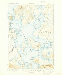
1922 Map of Moosehead Lake
USGS Topo · Published 1944About this map
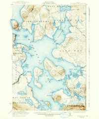
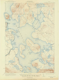
Mt Kineo rises as a prominent landmark over the central waters of the lake, anchoring a landscape defined by timber tracts and early 20th-century transportation. The Canadian Pacific railroad skirts the western shore, connecting the settlement at Moosehead to the wider region. Notable human imprints on the wilderness include the Masterman School within the Taunton and Raynham Tract and the lakeside community of Rockwood. The map documents a sophisticated water-based economy, specifically tracing the Steamboat Route as it weaves between Sugar Island and Deer Island. Large administrative divisions like Days Academy and the East Middlesex Canal grant dominate the northern terrain, reflecting the state's historical land-allocation patterns for education and infrastructure development.
Find a feature on this map
103 named features on this map. Tap any name to fly to it.
Don’t see what you’re looking for? This feature index may not catch every label — zoom into the map to look around manually.
Map Details
Editions of this 1922 Moosehead Lake Map
7 editions found
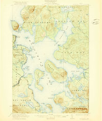
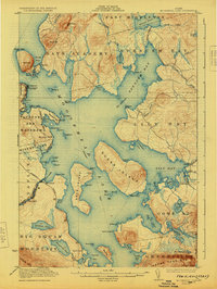
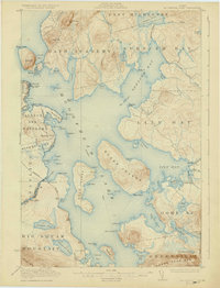
Other maps of this area

1905 · The Forks
USGS Topo · 1:62,500

1907 · The Forks
USGS Topo · 1:62,500

1920 · Moosehead Lake
USGS Topo · 1:62,500

1921 · Brassua Lake
USGS Topo · 1:62,500

1922 · Moosehead Lake
USGS Topo · 1:62,500

1923 · Brassua Lake
USGS Topo · 1:62,500

1930 · Moosehead Lake
USGS Topo · 1:62,500

1944 · Brassua Lake
USGS Topo · 1:62,500

1944 · Moosehead Lake
USGS Topo · 1:62,500

1950 · Sebec Lake
USGS Topo · 1:62,500