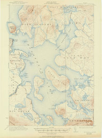
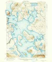
1922 Map of Moosehead Lake
USGS Topo · Published 1950About this map
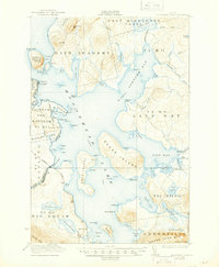
Steamboat Route tracks crisscross the expansive waters of Moosehead Lake in this 1920 survey, connecting remote landings and island settlements like Capens and Sugar Island. The western shore is defined by the Canadian Pacific railroad line, featuring Kineo Station at Rockwood, a vital link for the region's early 20th-century commerce and travel. Further south, the settlement of Moosehead sits near the East Outlet, where the lake's waters begin their journey toward the Kennebec River.
Find a feature on this map
100 named features on this map. Tap any name to fly to it.
Don’t see what you’re looking for? This feature index may not catch every label — zoom into the map to look around manually.
Map Details
Editions of this 1922 Moosehead Lake Map
7 editions found
Other maps of this area

1905 · The Forks
USGS Topo · 1:62,500

1907 · The Forks
USGS Topo · 1:62,500

1920 · Moosehead Lake
USGS Topo · 1:62,500

1921 · Brassua Lake
USGS Topo · 1:62,500

1922 · Moosehead Lake
USGS Topo · 1:62,500

1923 · Brassua Lake
USGS Topo · 1:62,500

1930 · Moosehead Lake
USGS Topo · 1:62,500

1944 · Brassua Lake
USGS Topo · 1:62,500

1944 · Moosehead Lake
USGS Topo · 1:62,500

1950 · Sebec Lake
USGS Topo · 1:62,500