
1922 Map of Moosehead Lake
USGS Topo · Published 1922About this map
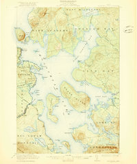
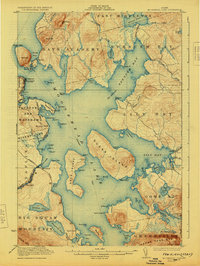
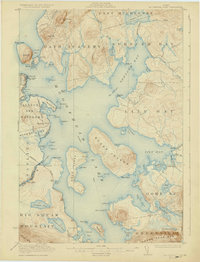
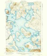
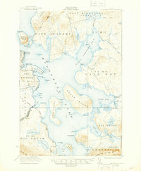
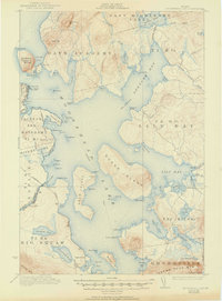
Moosehead Lake dominates this 1920 survey, reflecting a wilderness landscape shaped by early 20th-century transportation and timber interests. The western shore is a hub of activity at Rockwood, where the Maine Central railroad meets the water at Kineo Station. From here, a designated Steamboat Route navigates the open water toward Sugar Island and the interior, bypassing prominent landmarks like Mt Kineo and the high peaks of Big Squaw Mountain.
Find a feature on this map
101 named features on this map. Tap any name to fly to it.
Don’t see what you’re looking for? This feature index may not catch every label — zoom into the map to look around manually.
Map Details
Editions of this 1922 Moosehead Lake Map
7 editions found
Other maps of this area

1905 · The Forks
USGS Topo · 1:62,500

1907 · The Forks
USGS Topo · 1:62,500

1920 · Moosehead Lake
USGS Topo · 1:62,500

1921 · Brassua Lake
USGS Topo · 1:62,500

1923 · Brassua Lake
USGS Topo · 1:62,500

1930 · Moosehead Lake
USGS Topo · 1:62,500

1944 · Brassua Lake
USGS Topo · 1:62,500

1944 · Moosehead Lake
USGS Topo · 1:62,500

1950 · Sebec Lake
USGS Topo · 1:62,500

1951 · Greenville
USGS Topo · 1:62,500