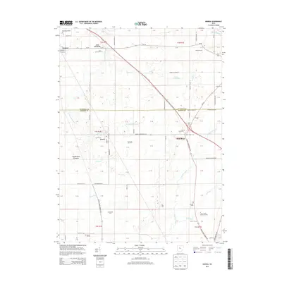
2013 Map of Morral
USGS Topo · Published 2013About this map
Morral and Little Sandusky serve as the primary hubs in this agricultural stretch of the Sandusky Plains, situated along the border of Wyandot and Marion counties. The landscape is defined by the convergence of several waterways, including the Little Sandusky River, Honey Run, and Morral Run, which feed into the larger river systems that shaped early Ohio settlement. This 2013 survey provides an exceptionally dense record of family and community burial sites, from the prominent Grand Prairie Cem and Chapel Heights Memorial Gardens to smaller, localized markers like Fitzhugh Grave and the Kannel Cem. Smaller enclaves such as Richmond Farms, Carpenters Corners, and Loudenslager Acres indicate the gradual modern subdivision of traditional farmland. The map also documents long-standing agricultural holdings like Ackley Farms and Fetter and Son Farms, preserving the names of the families who worked this fertile terrain.
Find a feature on this map
103 named features on this map. Tap any name to fly to it.
Don’t see what you’re looking for? This feature index may not catch every label — zoom into the map to look around manually.
Map Details
Editions of this 2013 Morral Map
This is the sole edition of this map. No revisions or reprints were ever made.
Other maps of this area

1903 · Marion
USGS Topo · 1:62,500

1905 · Marion
USGS Topo · 1:62,500

1906 · Sycamore
USGS Topo · 1:62,500

1907 · Upper Sandusky
USGS Topo · 1:62,500

1915 · La Rue
USGS Topo · 1:62,500

1950 · Marion
USGS Topo · 1:250,000

1960 · Oceola
USGS Topo · 1:24,000

1960 · Nevada
USGS Topo · 1:24,000
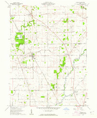
1960 · Morral
USGS Topo · 1:24,000

1960 · Upper Sandusky
USGS Topo · 1:24,000