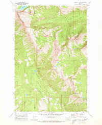
1970 Map of Morrell Lake
USGS Topo · Published 1973About this map
The high alpine terrain of the Missoula and Powell County line is defined by dramatic peaks and glacier-carved basins in the early 1970s. This survey, compiled from 1969 aerial photography, documents the interface of the Bob Marshall Wilderness Boundary, the Lolo National Forest, and the Flathead National Forest. Significant water features like Morrell Lake, Florence Lake, and the cascade at Morrell Falls serve as focal points for the backcountry drainage systems of Morrell and Marshall Creek. The map provides a precise record of established routes through the mountains, such as the Pyramid Pass Trail and the high Pyramid Pass, essential for navigating the complex geography around Grizzly Basin. Prominent summits including Fisher Peak and Marshall Mountain anchor the high-altitude landscape of this protected wilderness area.
Find a feature on this map
28 named features on this map. Tap any name to fly to it.
Don’t see what you’re looking for? This feature index may not catch every label — zoom into the map to look around manually.
Map Details
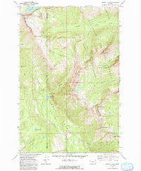
Editions of this 1970 Morrell Lake Map
2 editions found
Other maps of this area

1902 · Ovando
USGS Topo · 1:125,000

1905 · Ovando
USGS Topo · 1:125,000

1921 · Elbow Lake
USGS Topo · 1:125,000

1955 · Choteau
USGS Topo · 1:250,000

1957 · Choteau
USGS Topo · 1:250,000

1958 · Choteau
USGS Topo · 1:250,000

1962 · Choteau
USGS Topo · 1:250,000

1965 · Morrell Mountain
USGS Topo · 1:24,000

1965 · Holland Lake
USGS Topo · 1:24,000

1965 · Seeley Lake West
USGS Topo · 1:24,000