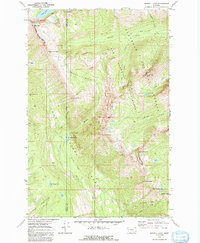
1970 Map of Morrell Lake
USGS Topo · Published 1992About this map
The Bob Marshall Wilderness Boundary marks a sharp divide in this high-altitude landscape where the Lolo National Forest and Flathead National Forest converge. Tracing the steep terrain of the Swan Range, this 1970 field-checked survey reveals a backcountry network of primitive routes like the Pack Trail and Pyramid Pass Trail. These paths connect remote water bodies, including Morrell Lake and the nearby Morrell Falls, which serve as critical landmarks for navigation. High peaks such as Sunday Mountain and Richmond Peak define the horizon, while the Grizzly Basin highlights the glacial carving of the upper watershed. The map serves as a record of these wildlands before modern recreational pressure, documenting established fords and creek crossings such as those over Morrell Creek and Pyramid Creek.
Find a feature on this map
32 named features on this map. Tap any name to fly to it.
Don’t see what you’re looking for? This feature index may not catch every label — zoom into the map to look around manually.
Map Details
Editions of this 1970 Morrell Lake Map
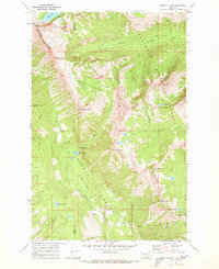
2 editions found
Other maps of this area

1902 · Ovando
USGS Topo · 1:125,000

1905 · Ovando
USGS Topo · 1:125,000

1921 · Elbow Lake
USGS Topo · 1:125,000

1955 · Choteau
USGS Topo · 1:250,000

1957 · Choteau
USGS Topo · 1:250,000

1958 · Choteau
USGS Topo · 1:250,000

1962 · Choteau
USGS Topo · 1:250,000

1965 · Morrell Mountain
USGS Topo · 1:24,000

1965 · Holland Lake
USGS Topo · 1:24,000

1965 · Seeley Lake West
USGS Topo · 1:24,000